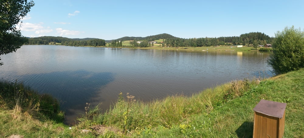
Start beim Stierhüblteich auf Forstwegen zum Kolmteich und weiter bis zum Einstieg zur beschilderten Freiwaldstrecke. Auf dieser Strecke folgend nach Liebenau.
Weiters geht auf Güterwegen bis zum Frauenwieserteich. Über den bruderndorferwald geht es zurück bis zum Sierhüblteich.
Fazit: eine landschaftlich abwechslungsreiche MTB-Tour welche mehrere Bademöglichkeiten bietet
Further information at
http://www.karlstift.atMapa trasy i profil wysokości
Minimum height 843 m
Maximum height 981 m
Komentarze
B38 Karlstift
GPS tracks
Trackpoints-
GPX / Garmin Map Source (gpx) download
-
TCX / Garmin Training Center® (tcx) download
-
CRS / Garmin Training Center® (crs) download
-
Google Earth (kml) download
-
G7ToWin (g7t) download
-
TTQV (trk) download
-
Overlay (ovl) download
-
Fugawi (txt) download
-
Kompass (DAV) Track (tk) download
-
Karta trasy (pdf) download
-
Original file of the author (gpx) download
Add to my favorites
Remove from my favorites
Edit tags
Open track
My score
Rate


Danke!