


Schöne Runde im einsamen Schmirntal. Los gehts im Talschluss in Kasern. Auch wenn man die Tour oftmals auch in umgekehrter Richtung findet, würde ich empfehlen, sie in dieser Richtung zu laufen. Der Aufstieg über die Frauenwand ist einfach eindrucksvoller und bietet mehr tolle Ausblicke, wohingegen der Weg von Kasern zum Tuxer Joch Haus eher unspektakulär ist. Wenn wie bei uns zudem Gewitter angekündigt sind, ist der Rückweg somit auch sicherer.
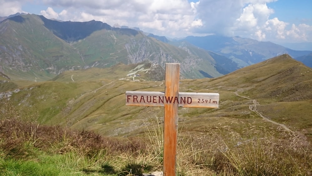
Von der Frauenwand hat man eine grandiose Aussicht. Auf dem Weg von der Frauenwand kann man zudem noch einen weiteren Gipfel, die Weiße Wand, mitnehmen.
Galeria trasy


Mapa trasy i profil wysokości
Minimum height 1589 m
Maximum height 2537 m
More about the tour author

|
klixx |
Komentarze

In St. Jodok am Brenner ins Schmirntal abbiegen und bis zum Ende durchfahren. Am Talschluss kann kostenfrei geparkt werden.
GPS tracks
Trackpoints-
GPX / Garmin Map Source (gpx) download
-
TCX / Garmin Training Center® (tcx) download
-
CRS / Garmin Training Center® (crs) download
-
Google Earth (kml) download
-
G7ToWin (g7t) download
-
TTQV (trk) download
-
Overlay (ovl) download
-
Fugawi (txt) download
-
Kompass (DAV) Track (tk) download
-
Karta trasy (pdf) download
-
Original file of the author (gpx) download
More about the tour author
|
|
klixx |
Add to my favorites
Remove from my favorites
Edit tags
Open track
My score
Rate