


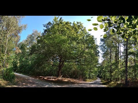
Im Sebalder Reichswald ist es auch bei über 30°C noch erträglich, wenn man die schattigen Wege im Hochwald aufsucht.
Hier gehen wir zunächst auf Forstweg nach Westen, auf breitem Querweg nach Nord bis zur Wolfsmarter, nach rechts zurück zur Straße, quer hinweg bis zur Grenzbuche, links zum Waldende. Hier rechts am Waldrand entlang zu den Weihern bei Stettenberg.
Rechts ab auf gewundenem Pfad an den Weihern entlang, bald durch einen "Urwald" weiter.
Am ersten Querweg links, am nächsten rechts und am darauffolgenden rechts und gleich links in der Gründlach- Aue entlang zur Straße: links ab zum Parkplatz.
Galeria trasy


Mapa trasy i profil wysokości
Minimum height 334 m
Maximum height 363 m
More about the tour author
|
|
heinz-57 |
Komentarze

Von Heroldsberg kommend auf "Am Ruhstein" zur Hundsmühle und weiter zur Kreuzung mit der schmalen Verbindungsstraße Kalchreuth- Nürnberg. Gegenüber Parkplatz.
GPS tracks
Trackpoints-
GPX / Garmin Map Source (gpx) download
-
TCX / Garmin Training Center® (tcx) download
-
CRS / Garmin Training Center® (crs) download
-
Google Earth (kml) download
-
G7ToWin (g7t) download
-
TTQV (trk) download
-
Overlay (ovl) download
-
Fugawi (txt) download
-
Kompass (DAV) Track (tk) download
-
Karta trasy (pdf) download
-
Original file of the author (gpx) download
More about the tour author
|
|
heinz-57 |
Add to my favorites
Remove from my favorites
Edit tags
Open track
My score
Rate