
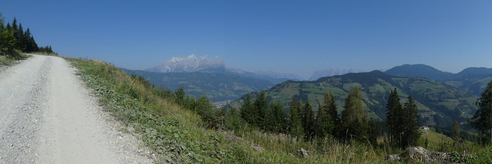

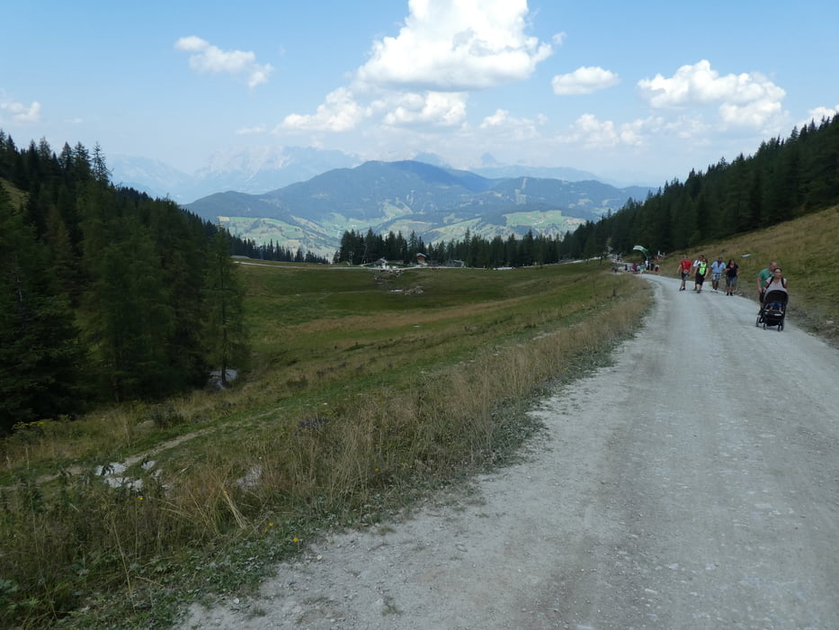
Ich bin von Wagrain die Bundesstraße 163 Richtung St. Johann und dann scharf links hinauf gefahren. Auf dieser Strecke war ich ziemlich alleine auf breiten Forststraßen und teilweise Asphaltstrecken. Für den Gernkogel und Grafenberg empfiehlt sich die Vor- oder Nachsaison, wenn man dem Trubel aus dem Weg gehen möchte.
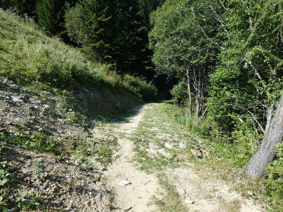
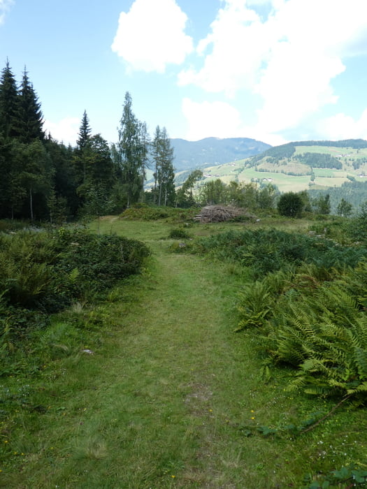
Nach dem Gernkogel Richtung Sonntagskogel ist eine Baustelle und deshalb wird man umgeleitet, sodass auf einem nicht fahrbaren Wanderpfad der Sonntagskogel südlich umrundet wird. Danach Richtung Grafenberg und lange auf Forststraßen hinunter. Ab Kaserlehen ca. 1.150m den Wanderweg Nr. 69 hinunter. Das ist ein feiner, leider etwas kurzer Trail.
Galeria trasy

Mapa trasy i profil wysokości
Minimum height 735 m
Maximum height 1781 m
More about the tour author
|
|
Astrid_Steindl04 |
Komentarze

GPS tracks
Trackpoints-
GPX / Garmin Map Source (gpx) download
-
TCX / Garmin Training Center® (tcx) download
-
CRS / Garmin Training Center® (crs) download
-
Google Earth (kml) download
-
G7ToWin (g7t) download
-
TTQV (trk) download
-
Overlay (ovl) download
-
Fugawi (txt) download
-
Kompass (DAV) Track (tk) download
-
Karta trasy (pdf) download
-
Original file of the author (gpx) download
More about the tour author
|
|
Astrid_Steindl04 |
Add to my favorites
Remove from my favorites
Edit tags
Open track
My score
Rate