

Start: Parkplatz am Ende der B 8056. GPS N57°39.091 W 005°48.177
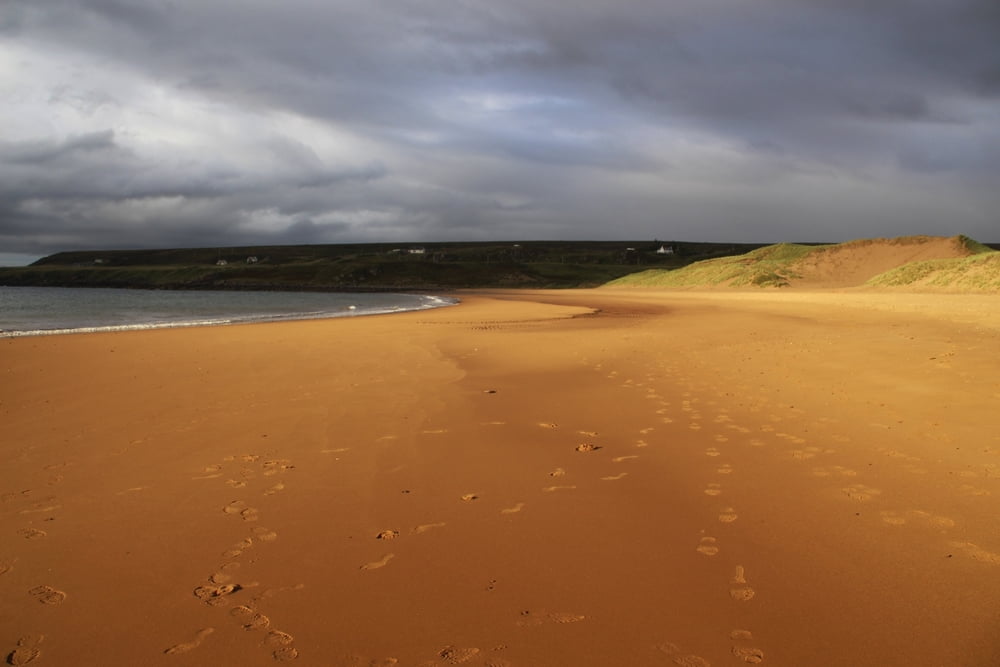
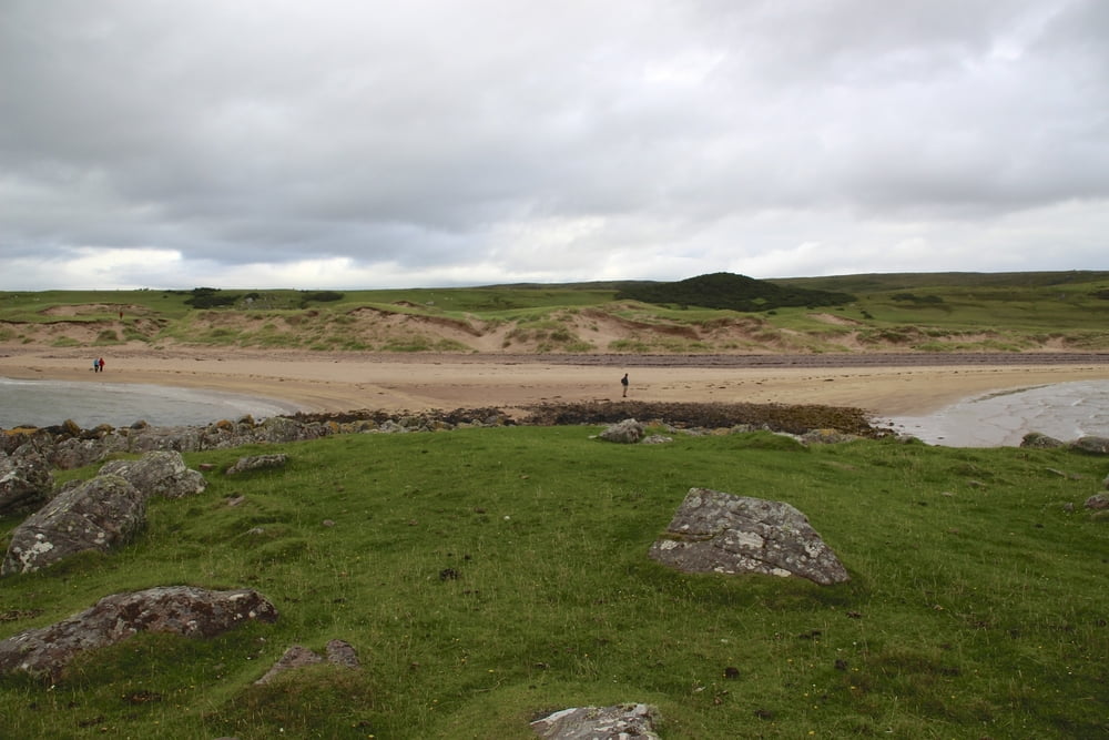
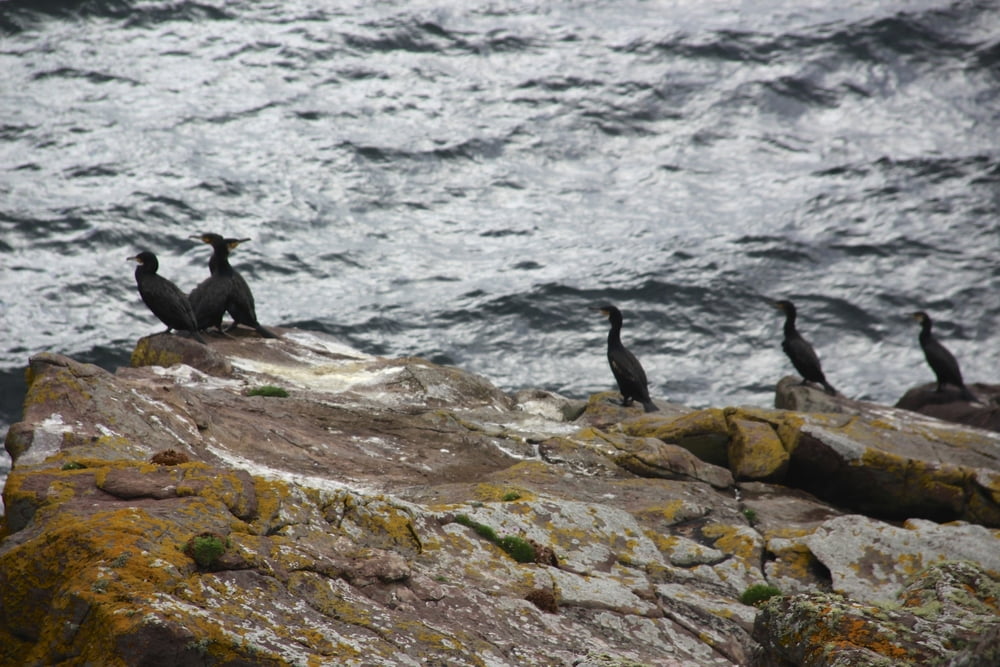
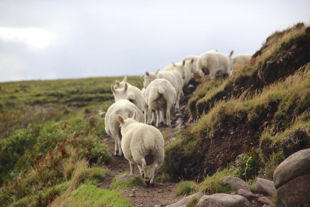
Weg Richtung Süden, viele Schafe, dann nach Lust und Laune zum ersten Strand. Hier wurden die Strandszenen zum Film " Ein Schotte macht noch keinen Sommer" gedreht. AmStrand entland und Schafspfade an der Küste entlangzum Redpoint Beach.Teils , wie immer in Schottland, feuchte Wege. Gemütliche Tour mit herrlichen Stränden,tolle Aussichten,Schafe, Vögel, wir haben auch einen gestrandeten Walkadaver gesehen. Diese Tour ist individuel ausdehnbar.
Galeria trasy

Mapa trasy i profil wysokości
Minimum height 2 m
Maximum height 34 m
More about the tour author

|
stefmid |
Komentarze

GPS tracks
Trackpoints-
GPX / Garmin Map Source (gpx) download
-
TCX / Garmin Training Center® (tcx) download
-
CRS / Garmin Training Center® (crs) download
-
Google Earth (kml) download
-
G7ToWin (g7t) download
-
TTQV (trk) download
-
Overlay (ovl) download
-
Fugawi (txt) download
-
Kompass (DAV) Track (tk) download
-
Karta trasy (pdf) download
-
Original file of the author (gpx) download
More about the tour author
|
|
stefmid |
Add to my favorites
Remove from my favorites
Edit tags
Open track
My score
Rate