
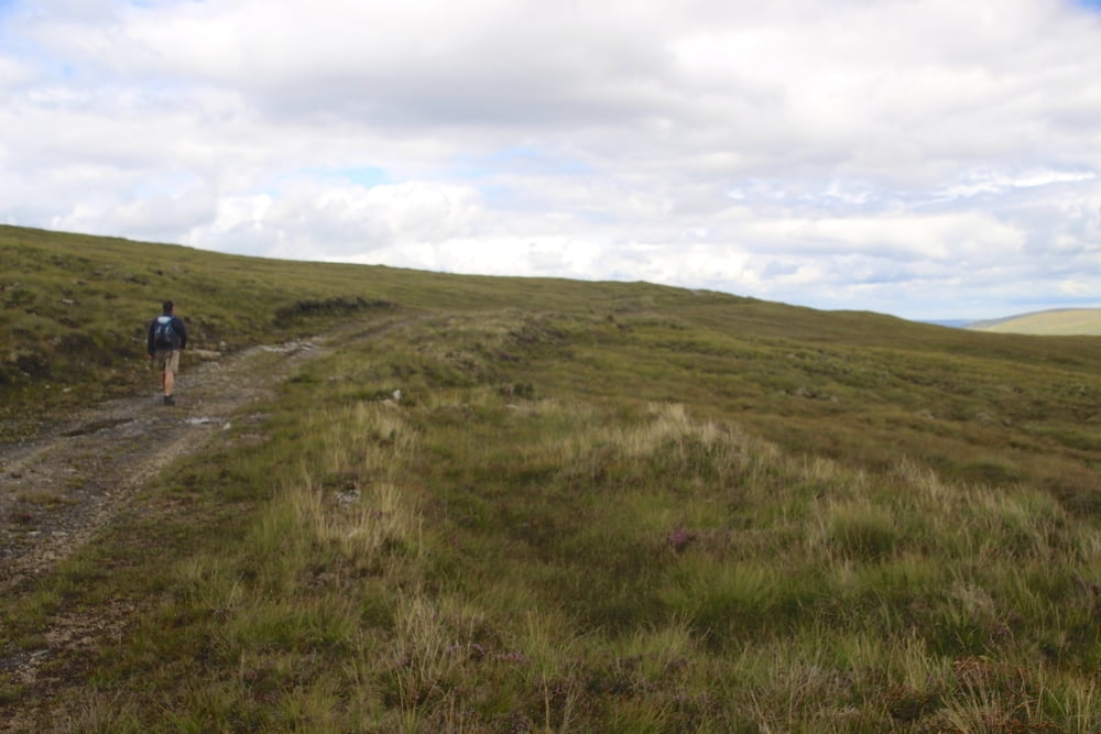

Parken: Staße nach Ullapool, beim Tir Aluinn Hotel parken. Zuerst 400m hoch, dann zweigt nach rechts durch ein Gatter ein Fahrweg ab, zuerst steil, dann wird der Weg allmählich schmaler bis zu einem Pfad auf 400 Hm. Tolle Aussichten auf etliche Munroes, gewellte einsame Berglandschaft. Abstieg ins Glen Achall. Unten an der Lodge mit Hilfe einer Leiter über eine Mauer zu einer kleinen Hängebrücke führt der Weg dann durchs Glen Achall am Loch Achall vorbei nach Ullapool. Wir sind die letzten 5 km getrampt mit einer Farmersfrau, was für uns auch nicht schlecht war. Schöne Tour mit toller Bergszenerie am Anfang und ein gemütlicher weg durch das schöne Tal. Von Ullapool (leckerer Fisch and Chips) zurück per Anhalter oder Bus zum Ausgangspunkt.
Galeria trasy


Mapa trasy i profil wysokości
Minimum height 2 m
Maximum height 408 m
More about the tour author

|
stefmid |
Komentarze

GPS tracks
Trackpoints-
GPX / Garmin Map Source (gpx) download
-
TCX / Garmin Training Center® (tcx) download
-
CRS / Garmin Training Center® (crs) download
-
Google Earth (kml) download
-
G7ToWin (g7t) download
-
TTQV (trk) download
-
Overlay (ovl) download
-
Fugawi (txt) download
-
Kompass (DAV) Track (tk) download
-
Karta trasy (pdf) download
-
Original file of the author (gpx) download
More about the tour author
|
|
stefmid |
Add to my favorites
Remove from my favorites
Edit tags
Open track
My score
Rate