Login

Zapomniałeś swój login?

Cookies have to be accepted!
Your browser's cookie functionality is disabled. Please enable this functionality.

Not a member yet?

Register now
Login

Available for registred users only

Log in to use this feature.

Zapomniałeś swój login?

Cookies have to be accepted!
Your browser's cookie functionality is disabled. Please enable this functionality.

Not a member yet?

Register now
Filter
Kategorie
Advanced filters
  • Długość (km)
  • Wysokość
Zapisz filtr Reset filter

TrackRank

QRCode

Technical data

Długość2,5 km Wysokość45 m Way down41 m Czas trwania00:00 h:m Data09.08.2018
Oceny Author Krajobraz Czynnik zadowolenia Kondycja Technika

Statystyka

191 Widoki Oceny 9 Downloads / Pliki do pobrania Przeciętnie
Rate
  • Karta trasy
  • Dojazd
  • Downloads / Pliki do pobrania

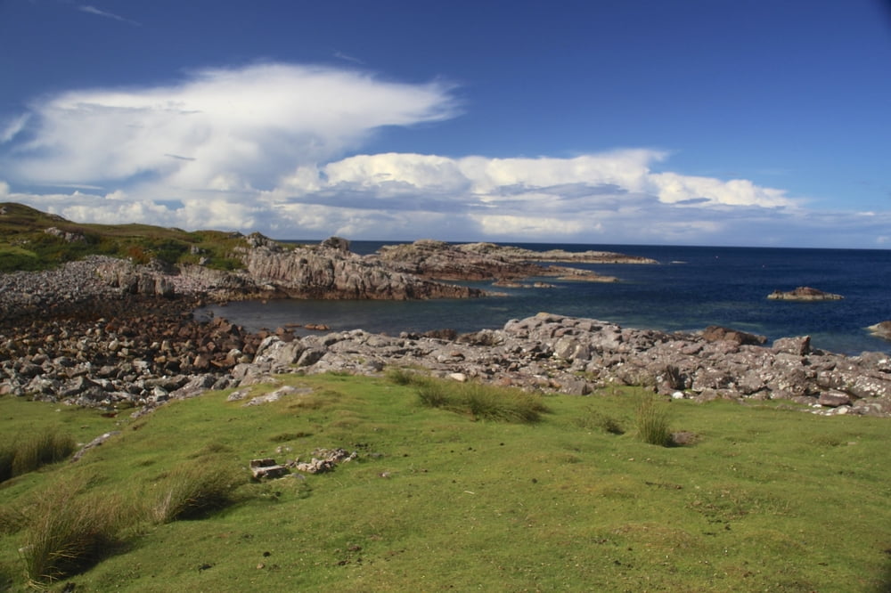
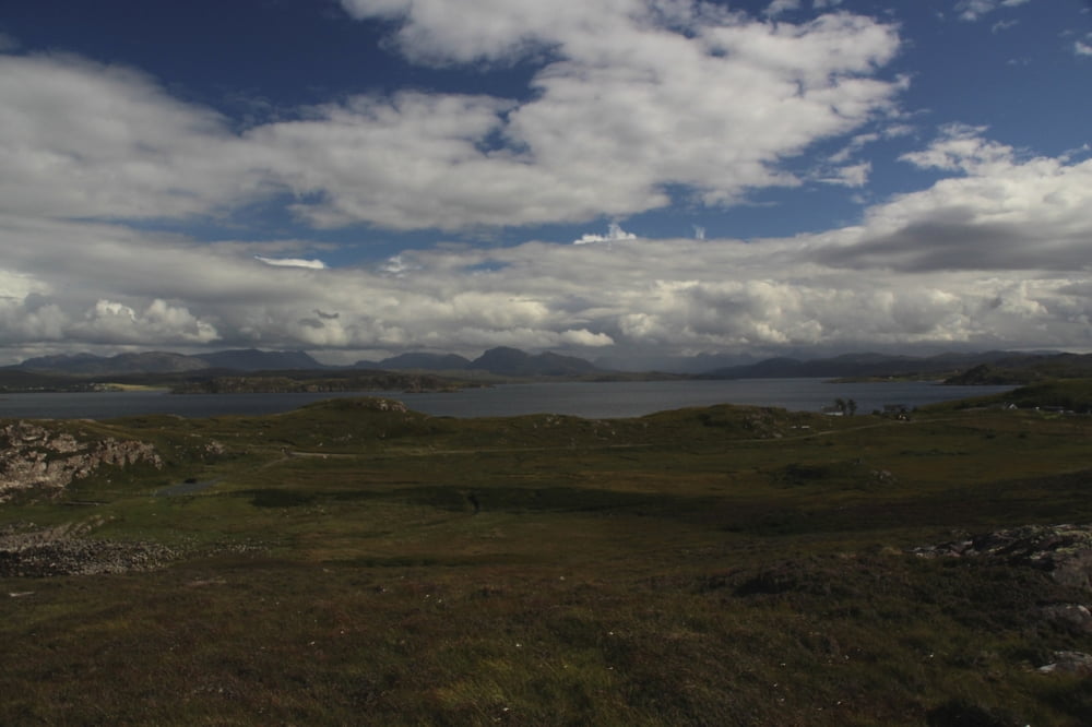
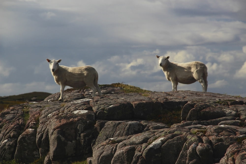
Von Poolewe Küstenstraße nach Cove zum Parkplatz Cove Light Anti am Ende der Sraße.

Küstenweg, bizarr, wunderschöne Aussicht. Auszudehnen wie man will. Schöne Felsenplätze.

Galeria trasy

Mapa trasy i profil wysokości

  • Open Street Map
  • Google
Minimum height -1 m Maximum height 40 m Widok szczegółowy

More about the tour author

stefmid
Member since 2012

Send private message

Komentarze

GPS tracks

Trackpoints
  • GPX / Garmin Map Source (gpx) download
  • TCX / Garmin Training Center® (tcx) download
  • CRS / Garmin Training Center® (crs) download
  • Google Earth (kml) download
  • G7ToWin (g7t) download
  • TTQV (trk) download
  • Overlay (ovl) download
  • Fugawi (txt) download
  • Kompass (DAV) Track (tk) download
  • Karta trasy (pdf) download
  • Original file of the author (gpx) download

More about the tour author

stefmid
Member since 2012

Send private message
Share track
Add to my favorites
Remove from my favorites
Edit tags
My score
Rate
Trasa: Poolewe Halbinsel
Rodzaj: Wędrówki
Długość: 2,5 km
Evaluated on:
Czas trwania:
Day(s)
Hour(s)
Minute(s)
Ocena: Krajobraz Czynnik zadowolenia Kondycja Technika