


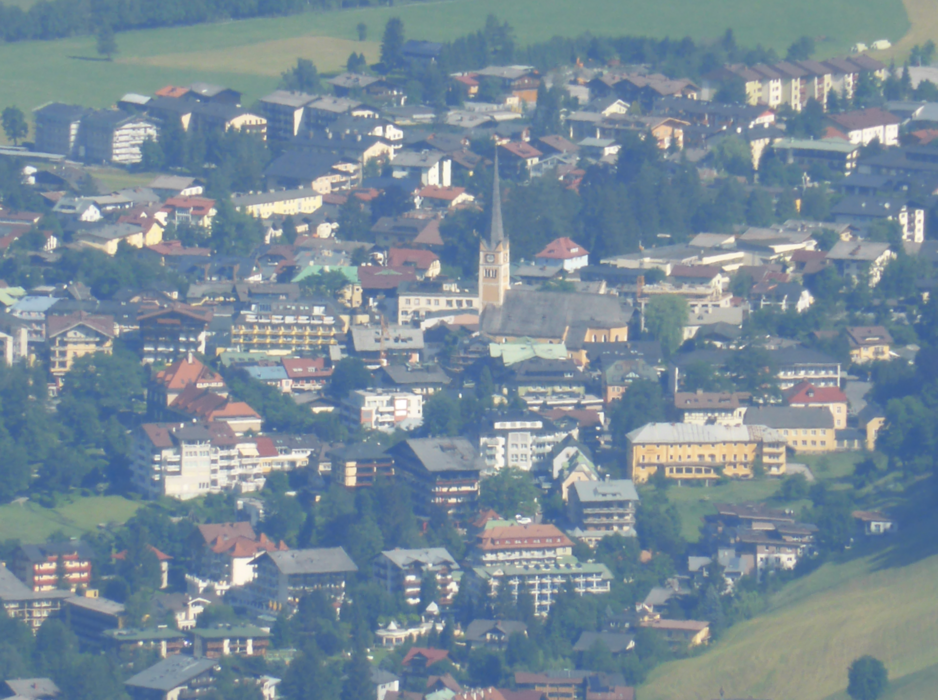
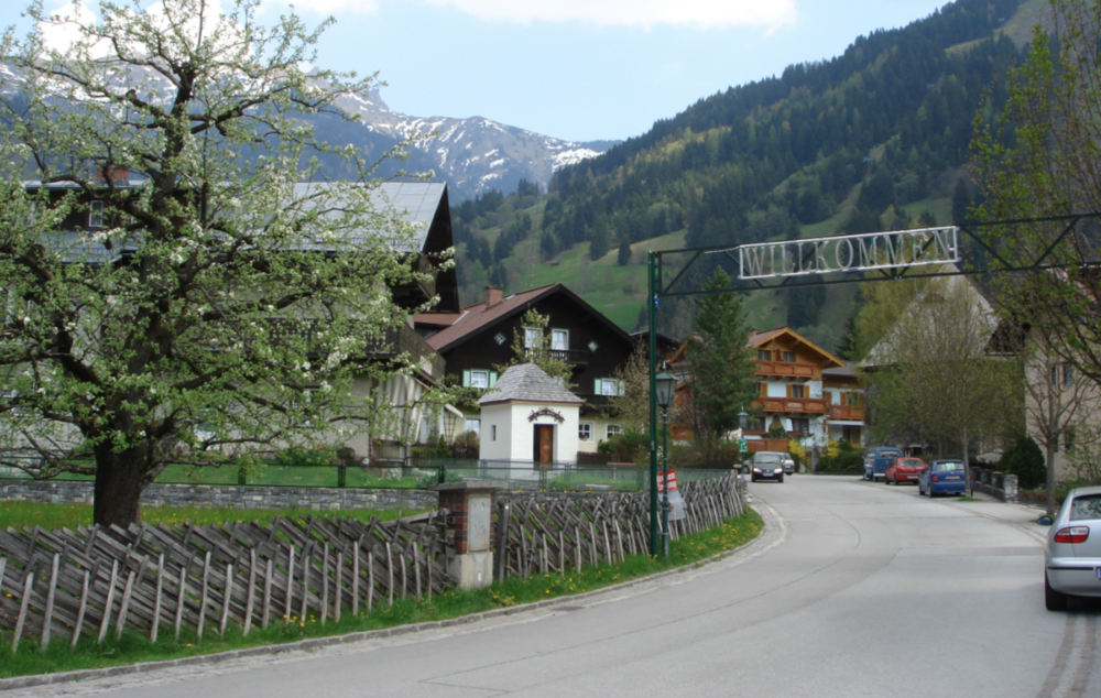
16.09.2018 Die Tour beginnt am Chalet 1 des Wetzelgutes (oberhalb des Bahnhof Bad Gastein). Von dort nach Badbruck und an der rechten Seite der Gasteiner Ache durchs Gasteinertal, vorbei an Bad Hofgastein nach Dorfgastein. Der Rückweg verläuft dann auf der anderen Achen-Seite, ein etwas steilerer Anstieg Richtung Schneeberg und über die Erzherzog Johann Promenade wieder an den Startpunkt.
Galeria trasy
Mapa trasy i profil wysokości
Minimum height 830 m
Maximum height 1106 m
More about the tour author
|
|
exitus |
Komentarze

Autobahn A10 (von Salzburg oder Villach kommend) abfahrt Bischofshofen, weiter auf der B311 bis kurz vor Lend - abbiegen auf die B167 nach Bad Gastein (PLZ 5640).
GPS tracks
Trackpoints-
GPX / Garmin Map Source (gpx) download
-
TCX / Garmin Training Center® (tcx) download
-
CRS / Garmin Training Center® (crs) download
-
Google Earth (kml) download
-
G7ToWin (g7t) download
-
TTQV (trk) download
-
Overlay (ovl) download
-
Fugawi (txt) download
-
Kompass (DAV) Track (tk) download
-
Karta trasy (pdf) download
-
Original file of the author (gpx) download
More about the tour author
|
|
exitus |
Add to my favorites
Remove from my favorites
Edit tags
Open track
My score
Rate