


Wer dem Rummel und starken Autoverkehr vom Lago entfliehen will, für den ist diese Rennradtour genau das Richtige. Auf sehr ruhigen kleinen Straßen geht es durch die Pasubioregion.
Von Riva über Torbole, Nago, Loppio, Mori nach Rovereto. Dabei größtenteils auf Radwegen. (Der kleine Passo San Giovanni zwischen Nago und Loopio mit 272m ist dabei kaum erwähnenswert).
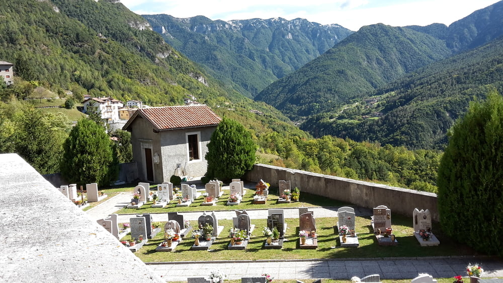
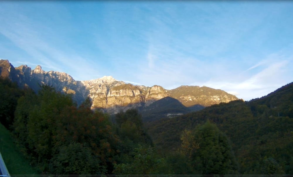
In Rovereto angekommen geht es ins bergige Hinterland.
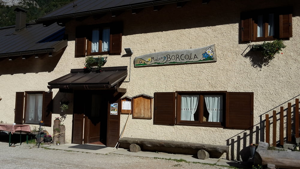
Gute Gelengeheit für eine Rast bietet Malga Borcola, kurz vor dem Passo Borcola.
Natürlich könnte man auch von Rovereto aus starten und es wären dann 74 km und ca. 2100 hm
Galeria trasy
Mapa trasy i profil wysokości
Minimum height 66 m
Maximum height 1212 m
More about the tour author

|
Altenthanner |
Komentarze

startend entweder Riva, Torbole oder Rovereto
GPS tracks
Trackpoints-
GPX / Garmin Map Source (gpx) download
-
TCX / Garmin Training Center® (tcx) download
-
CRS / Garmin Training Center® (crs) download
-
Google Earth (kml) download
-
G7ToWin (g7t) download
-
TTQV (trk) download
-
Overlay (ovl) download
-
Fugawi (txt) download
-
Kompass (DAV) Track (tk) download
-
Karta trasy (pdf) download
-
Original file of the author (gpx) download
More about the tour author
|
|
Altenthanner |
Add to my favorites
Remove from my favorites
Edit tags
Open track
My score
Rate