Login

Zapomniałeś swój login?

Cookies have to be accepted!
Your browser's cookie functionality is disabled. Please enable this functionality.

Not a member yet?

Register now
Login

Available for registred users only

Log in to use this feature.

Zapomniałeś swój login?

Cookies have to be accepted!
Your browser's cookie functionality is disabled. Please enable this functionality.

Not a member yet?

Register now
Filter
Kategorie
Advanced filters
  • Długość (km)
  • Wysokość
Zapisz filtr Reset filter

TrackRank

QRCode

Technical data

Długość54,6 km Wysokość791 m Way down776 m Czas trwania06:00 h:m Data17.10.2018
Oceny Author Krajobraz Czynnik zadowolenia Kondycja Technika

Statystyka

228 Widoki Oceny 54 Downloads / Pliki do pobrania Przeciętnie
Rate
  • Karta trasy
  • Dojazd
  • Downloads / Pliki do pobrania
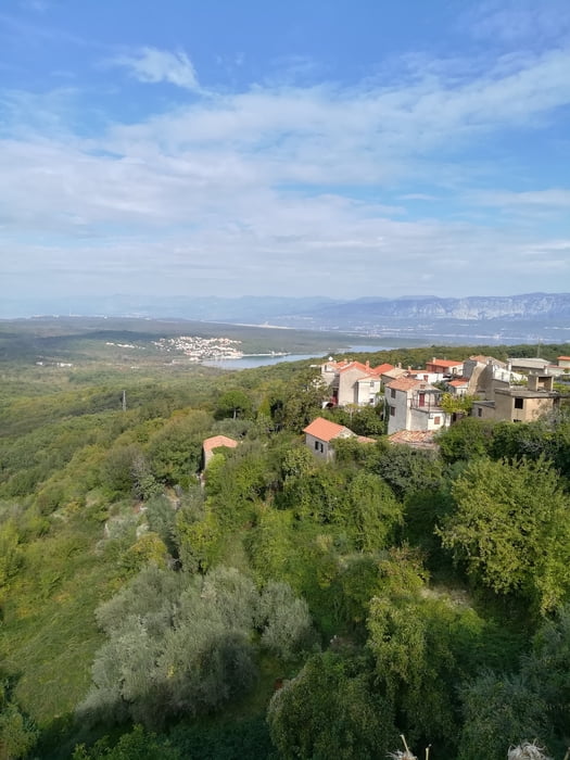
Vom Hafen ansteigend zur Hauptstrasse, parallel auf dem Radweg bis Kornic. Dann auf  Schotterweg bis Kampelje, weiter auf Asphalt oberhalb von Vrbnik durch die Weinberge weiter nach Dobrinj zu einer Mittagsrast. Jetzt in einem großen Bogen Süd-West-Nord nach Malinska, dem Endziel für heute, wo wir wieder an Bord gingen und noch am selben Tag auf die Insel Cres und den gleichnamigen Hafen weiterfuhren.

Mapa trasy i profil wysokości

  • Open Street Map
  • Google
Minimum height -12 m Maximum height 303 m Widok szczegółowy

More about the tour author

walderich
Member since 2012

Send private message

Komentarze

GPS tracks

Trackpoints
  • GPX / Garmin Map Source (gpx) download
  • TCX / Garmin Training Center® (tcx) download
  • CRS / Garmin Training Center® (crs) download
  • Google Earth (kml) download
  • G7ToWin (g7t) download
  • TTQV (trk) download
  • Overlay (ovl) download
  • Fugawi (txt) download
  • Kompass (DAV) Track (tk) download
  • Karta trasy (pdf) download
  • Original file of the author (gpx) download

More about the tour author

walderich
Member since 2012

Send private message
Share track
Add to my favorites
Remove from my favorites
Edit tags
My score
Rate
Trasa: Inselhüpfen 3 Krk
Rodzaj: Trasy rowerowe
Długość: 54,6 km
Evaluated on:
Czas trwania:
Day(s)
Hour(s)
Minute(s)
Ocena: Krajobraz Czynnik zadowolenia Kondycja Technika