Login

Zapomniałeś swój login?

Cookies have to be accepted!
Your browser's cookie functionality is disabled. Please enable this functionality.

Not a member yet?

Register now
Login

Available for registred users only

Log in to use this feature.

Zapomniałeś swój login?

Cookies have to be accepted!
Your browser's cookie functionality is disabled. Please enable this functionality.

Not a member yet?

Register now
Filter
Kategorie
Advanced filters
  • Długość (km)
  • Wysokość
Zapisz filtr Reset filter

TrackRank

QRCode

Technical data

Długość4,5 km Wysokość84 m Way down95 m Czas trwania20:00 h:m Data08.06.2008
Oceny Author Krajobraz Czynnik zadowolenia Kondycja Technika

Statystyka

163 Widoki Oceny 6 Downloads / Pliki do pobrania Przeciętnie
Rate
  • Karta trasy
  • Dojazd
  • Downloads / Pliki do pobrania

Der aufgezeichnete Lauf ist die Basisroute, welche von den L

Mapa trasy i profil wysokości

  • Open Street Map
  • Google
Minimum height 727 m Maximum height 768 m Widok szczegółowy

More about the tour author

ewald_hoffmann
Member since 2008

Send private message

Komentarze

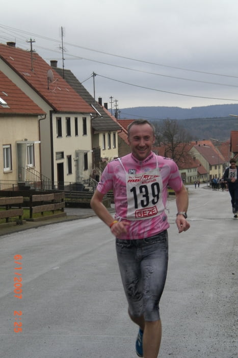
Start und Ziel ist zugleich auch Treffpunkt des Lauftreffs Benzingen (LT-B) siehe auch Hompage: www.TSV-Benzingen.de

GPS tracks

Trackpoints
  • GPX / Garmin Map Source (gpx) download
  • TCX / Garmin Training Center® (tcx) download
  • CRS / Garmin Training Center® (crs) download
  • Google Earth (kml) download
  • G7ToWin (g7t) download
  • TTQV (trk) download
  • Overlay (ovl) download
  • Fugawi (txt) download
  • Kompass (DAV) Track (tk) download
  • Karta trasy (pdf) download
  • Original file of the author (gpx) download

More about the tour author

ewald_hoffmann
Member since 2008

Send private message
Share track
Add to my favorites
Remove from my favorites
Edit tags
My score
Rate
Trasa: LT-B-Rund um den Pfarrfelsen
Rodzaj: Biegi
Długość: 4,5 km
Evaluated on:
Czas trwania:
Day(s)
Hour(s)
Minute(s)
Ocena: Krajobraz Czynnik zadowolenia Kondycja Technika