
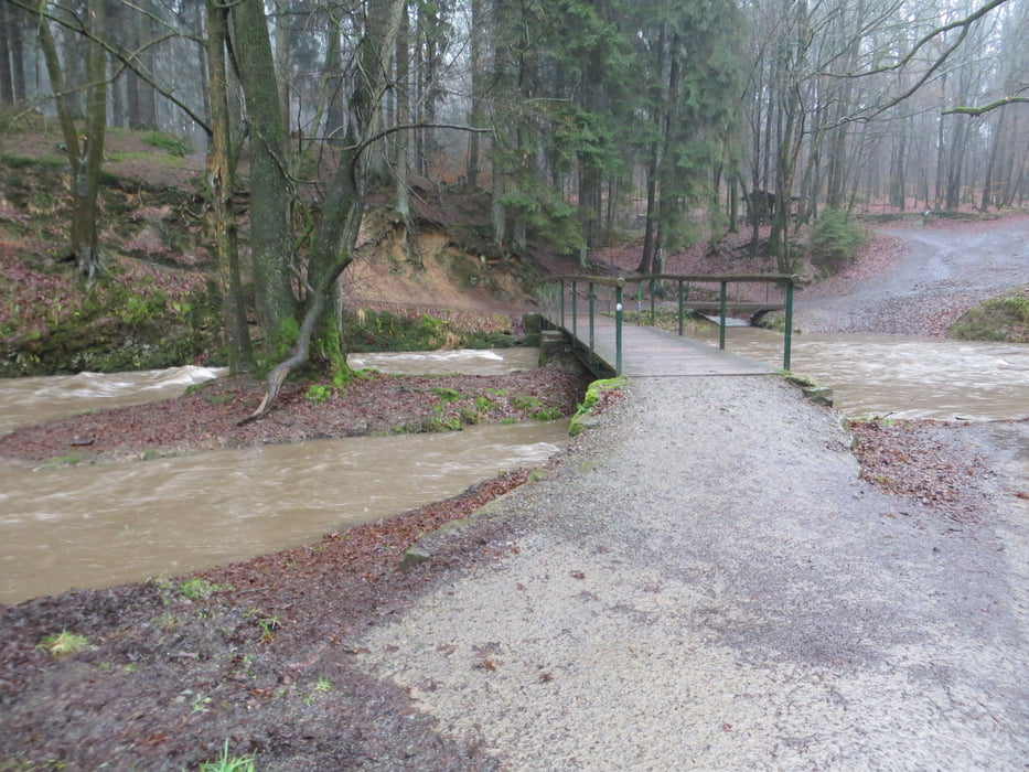

Diese Rundwanderung ist eine leichte Abwandlung der Wanderung E3 Täler und Höhen - Dhünnhochfläche und berührt den Kochshof. Sie führt durchs wildromantische Eifgental und über die Höhen in mehrere Bachtäler, z.B. Linefe. Die Staumauer der Dhünntalsperre wird überquert. Am Kochshof vorbei gelangt man ins Tal der Dhünn und zurück zum Ausgangspunkt am Wanderparkplatz Schöllerhof.
In der feuchten Jahreszeit ist besonders das Eifgenbachtal sehr matschig bis unpassierbar.
Further information at
http://www.sudowe.eu/index.php/renate-s-blog/berichte-2019/292-gps-regenwanderung-mit-lutzGaleria trasy


Mapa trasy i profil wysokości
Minimum height 100 m
Maximum height 246 m
More about the tour author
|
|
Renatelev |
Komentarze

Wanderparkplatz Schöllerhof Odenthal/Altenberg
Koordinaten N51° 03.784' E007° 08.508'
GPS tracks
Trackpoints-
GPX / Garmin Map Source (gpx) download
-
TCX / Garmin Training Center® (tcx) download
-
CRS / Garmin Training Center® (crs) download
-
Google Earth (kml) download
-
G7ToWin (g7t) download
-
TTQV (trk) download
-
Overlay (ovl) download
-
Fugawi (txt) download
-
Kompass (DAV) Track (tk) download
-
Karta trasy (pdf) download
-
Original file of the author (gpx) download
More about the tour author
|
|
Renatelev |
Add to my favorites
Remove from my favorites
Edit tags
Open track
My score
Rate