


Gemütliche Wanderung auf meist geräumten Wegen.
Vom Parkplatz folgen wir dem Wegweiser "Bärgunt- Hütte" leicht ansteigend. Nach 1.2 km links etwas kräftiger bergan geht es zum Talschluss und wir erreichen die Hütte. Kurz unterhalb der Hütte nunmehr links ab durch das romantische Tälchen auf z.T. etwas schmalem Steig zurück.
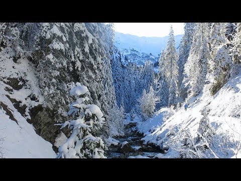
Galeria trasy


Mapa trasy i profil wysokości
Minimum height 1226 m
Maximum height 1409 m
More about the tour author
|
|
heinz-57 |
Komentarze

Im Kleinwalsertal an Riezlern und Mittelberg vorbei bis zum Talschluss in Baad. Am Kreisverkehr Parkplatz und Wegbeginn über der Breitach.
GPS tracks
Trackpoints-
GPX / Garmin Map Source (gpx) download
-
TCX / Garmin Training Center® (tcx) download
-
CRS / Garmin Training Center® (crs) download
-
Google Earth (kml) download
-
G7ToWin (g7t) download
-
TTQV (trk) download
-
Overlay (ovl) download
-
Fugawi (txt) download
-
Kompass (DAV) Track (tk) download
-
Karta trasy (pdf) download
-
Original file of the author (gpx) download
More about the tour author
|
|
heinz-57 |
Add to my favorites
Remove from my favorites
Edit tags
Open track
My score
Rate