Login

Zapomniałeś swój login?

Cookies have to be accepted!
Your browser's cookie functionality is disabled. Please enable this functionality.

Not a member yet?

Register now
Login

Available for registred users only

Log in to use this feature.

Zapomniałeś swój login?

Cookies have to be accepted!
Your browser's cookie functionality is disabled. Please enable this functionality.

Not a member yet?

Register now
Filter
Kategorie
Advanced filters
  • Długość (km)
  • Wysokość
Zapisz filtr Reset filter

TrackRank

QRCode

Technical data

Długość12,0 km Wysokość252 m Way down269 m Czas trwania02:13 h:m Data24.03.2019
Oceny Author Krajobraz Czynnik zadowolenia Kondycja Technika

Statystyka

221 Widoki Oceny 12 Downloads / Pliki do pobrania Przeciętnie
Rate
  • Karta trasy
  • Dojazd
  • Downloads / Pliki do pobrania
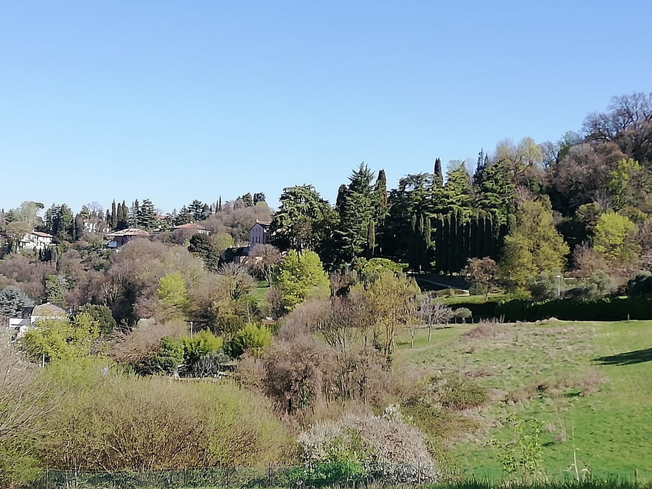
Ottima marcia sui parco Retrone e sui colli Berici di Vicenza. Percorso svolto su terreno sterrato. Splendida giornata di primaverile.

Further information at

https://it.wikipedia.org/wiki/Retrone

Galeria trasy

Mapa trasy i profil wysokości

  • Open Street Map
  • Google
Minimum height 20 m Maximum height 166 m Widok szczegółowy

More about the tour author

agosflavio
Member since 2013

Send private message

Komentarze

GPS tracks

Trackpoints
  • GPX / Garmin Map Source (gpx) download
  • TCX / Garmin Training Center® (tcx) download
  • CRS / Garmin Training Center® (crs) download
  • Google Earth (kml) download
  • G7ToWin (g7t) download
  • TTQV (trk) download
  • Overlay (ovl) download
  • Fugawi (txt) download
  • Kompass (DAV) Track (tk) download
  • Karta trasy (pdf) download
  • Original file of the author (gpx) download

More about the tour author

agosflavio
Member since 2013

Send private message
Share track
Add to my favorites
Remove from my favorites
Edit tags
My score
Rate
Trasa: Marcia Corriretrone a Vicenza
Rodzaj: Trasy górskie
Długość: 12,0 km
Evaluated on:
Czas trwania:
Day(s)
Hour(s)
Minute(s)
Ocena: Krajobraz Czynnik zadowolenia Kondycja Technika