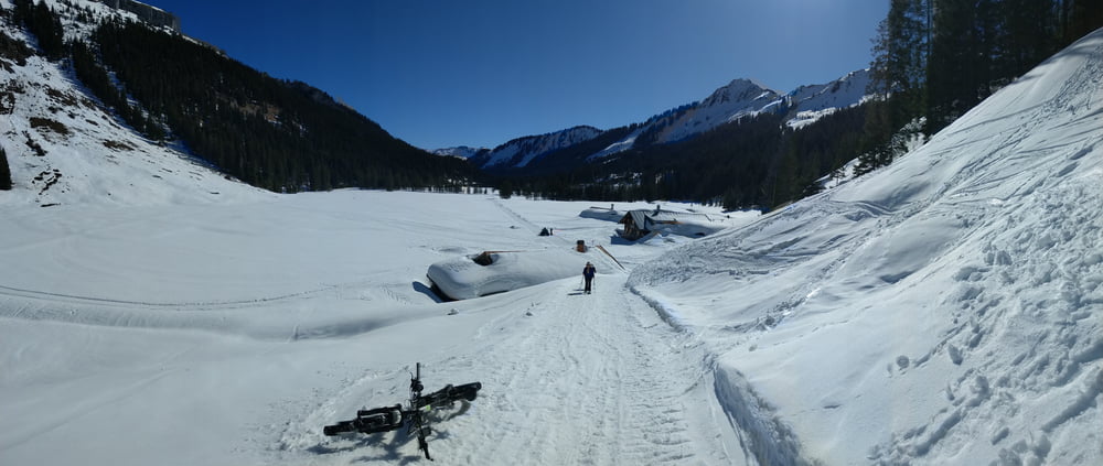
Tour auf Winterwegen durch das Kleine Walsertal
Landschaftlich sehr schön
nur bei Nachtfrost und angefroreren Wegen möglich (meist Febrauar März optimal). sehr früh starten, bei weichen Wegen geht das biken nicht!
Breite Reifen oder breite Reifen mit Spikes sind hilfreich
Vorsicht bei eisigen Stellen, ohne Spikes sehr vorsichtig fahren
Galeria trasy
Mapa trasy i profil wysokości
Minimum height 774 m
Maximum height 1232 m
Komentarze

parken am Breitachklamm Parkplatz an Landesgrenze
GPS tracks
Trackpoints-
GPX / Garmin Map Source (gpx) download
-
TCX / Garmin Training Center® (tcx) download
-
CRS / Garmin Training Center® (crs) download
-
Google Earth (kml) download
-
G7ToWin (g7t) download
-
TTQV (trk) download
-
Overlay (ovl) download
-
Fugawi (txt) download
-
Kompass (DAV) Track (tk) download
-
Karta trasy (pdf) download
-
Original file of the author (gpx) download
Add to my favorites
Remove from my favorites
Edit tags
Open track
My score
Rate


