Login

Zapomniałeś swój login?

Cookies have to be accepted!
Your browser's cookie functionality is disabled. Please enable this functionality.

Not a member yet?

Register now
Login

Available for registred users only

Log in to use this feature.

Zapomniałeś swój login?

Cookies have to be accepted!
Your browser's cookie functionality is disabled. Please enable this functionality.

Not a member yet?

Register now
Filter
Kategorie
Advanced filters
  • Długość (km)
  • Wysokość
Zapisz filtr Reset filter

TrackRank

QRCode

Technical data

Długość120,5 km Wysokość1462 m Way down1433 m Czas trwania00:00 h:m Data01.04.2019
Oceny Author Krajobraz Czynnik zadowolenia Kondycja Technika

Statystyka

256 Widoki Oceny 12 Downloads / Pliki do pobrania Przeciętnie
Rate
  • Karta trasy
  • Dojazd
  • Downloads / Pliki do pobrania
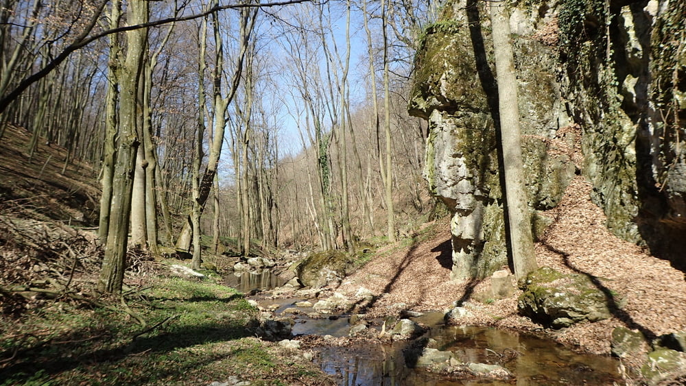
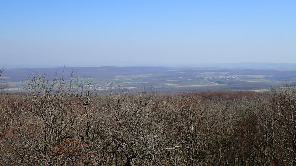
Fűzfőről félig terepen betekertem Veszprémbe. Onnan vonattal Porva-Csesznek vasútállomásig. Végig gurultam a Cuha-szurdokon. Aztán át a Hódosér völgyén morvás erdei úton. A piros jelzésen fel a Kőris tetejére, az utolsó 50 m biztosan tolós. Lefelé a piroson az Odvaskő étteremig. Aztán fel a Hubert laki gyilkostóhoz. Onnét a Hajag érintésével Herendre, majd Veszprémen keresztül Fűzfőre.

Galeria trasy

Mapa trasy i profil wysokości

  • Open Street Map
  • Google
Minimum height 140 m Maximum height 723 m Widok szczegółowy

More about the tour author

Tulilui
Member since 2017

Send private message

Komentarze

Reggel 8-kor és 11-kor indul vonat Győr felé Veszprémből.

GPS tracks

Trackpoints
  • GPX / Garmin Map Source (gpx) download
  • TCX / Garmin Training Center® (tcx) download
  • CRS / Garmin Training Center® (crs) download
  • Google Earth (kml) download
  • G7ToWin (g7t) download
  • TTQV (trk) download
  • Overlay (ovl) download
  • Fugawi (txt) download
  • Kompass (DAV) Track (tk) download
  • Karta trasy (pdf) download
  • Original file of the author (gpx) download

More about the tour author

Tulilui
Member since 2017

Send private message
Share track
Add to my favorites
Remove from my favorites
Edit tags
My score
Rate
Trasa: Cuhas-szurdok,Kőrih-hegy,Gyilkos-tó Fűzfőről
Rodzaj: Rower górski (MTB)
Długość: 120,5 km
Evaluated on:
Czas trwania:
Day(s)
Hour(s)
Minute(s)
Ocena: Krajobraz Czynnik zadowolenia Kondycja Technika