Login

Zapomniałeś swój login?

Cookies have to be accepted!
Your browser's cookie functionality is disabled. Please enable this functionality.

Not a member yet?

Register now
Login

Available for registred users only

Log in to use this feature.

Zapomniałeś swój login?

Cookies have to be accepted!
Your browser's cookie functionality is disabled. Please enable this functionality.

Not a member yet?

Register now
Filter
Kategorie
Advanced filters
  • Długość (km)
  • Wysokość
Zapisz filtr Reset filter

TrackRank

QRCode

Technical data

Długość39,1 km Wysokość486 m Way down485 m Czas trwania00:00 h:m Data06.04.2019
Oceny Author Krajobraz Czynnik zadowolenia Kondycja Technika

Statystyka

177 Widoki Oceny 6 Downloads / Pliki do pobrania Przeciętnie
Rate
  • Karta trasy
  • Dojazd
  • Downloads / Pliki do pobrania
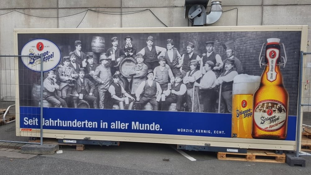
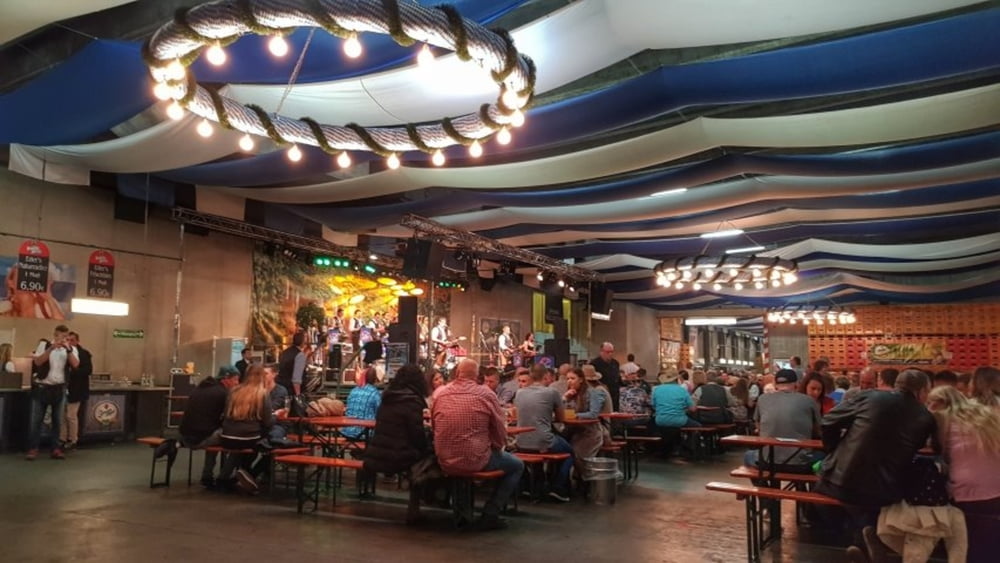
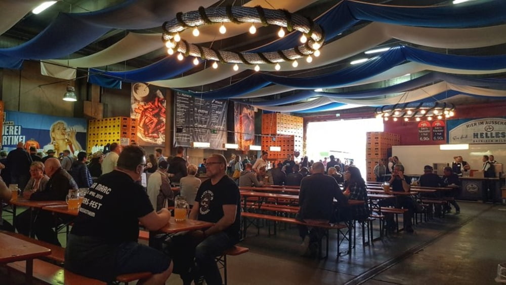
Heute ein schneller Ritt über die Frankfurter Straße und die Dörfer nach Großostheim zum Brauereihoffest der Eder & Heylands Brauerei. Der Rückweg auf der gleichen Strecken. #noebike

Galeria trasy

Mapa trasy i profil wysokości

  • Open Street Map
  • Google
Minimum height 157 m Maximum height 369 m Widok szczegółowy

More about the tour author

mh021255
Member since 2009

Send private message

Komentarze

GPS tracks

Trackpoints
  • GPX / Garmin Map Source (gpx) download
  • TCX / Garmin Training Center® (tcx) download
  • CRS / Garmin Training Center® (crs) download
  • Google Earth (kml) download
  • G7ToWin (g7t) download
  • TTQV (trk) download
  • Overlay (ovl) download
  • Fugawi (txt) download
  • Kompass (DAV) Track (tk) download
  • Karta trasy (pdf) download
  • Original file of the author (gpx) download

More about the tour author

mh021255
Member since 2009

Send private message
Share track
Add to my favorites
Remove from my favorites
Edit tags
My score
Rate
Trasa: Zum Brauereihoffest Ederbräu
Rodzaj: Rower górski (MTB)
Długość: 39,1 km
Evaluated on:
Czas trwania:
Day(s)
Hour(s)
Minute(s)
Ocena: Krajobraz Czynnik zadowolenia Kondycja Technika