
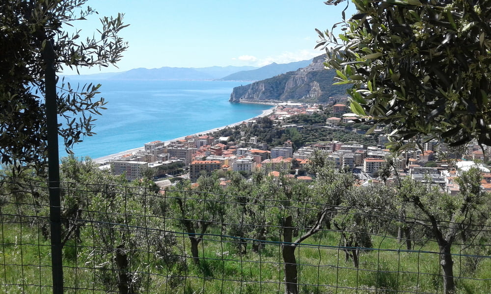

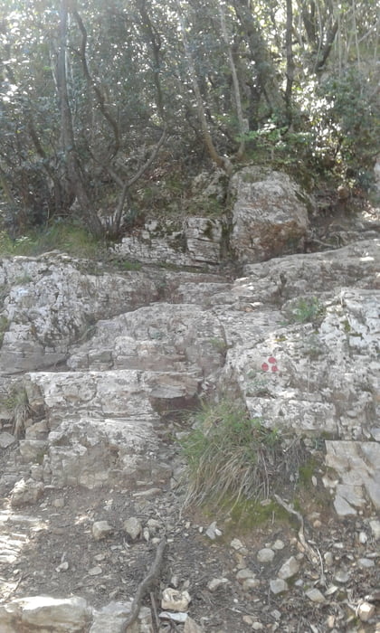
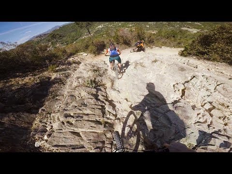
Vom Camping Tahiti hinauf Richtung San Bernardino. Dann rechts an einem Aussichtsplatz hinunter nach Finale - einige S3 Passagen und viele Treppen bis zur Strasse. Dann weiter nach Finalborgo und hinauf auf den Caprazoppa. Bei St. Martin dann wieder hinunter. Einige S4 Stellen ansonsten immer zwischen S2 + S3. Dann weiter nach Calvisio und hinauf nach Verzi und das Val Ponti bis Arma. Beim Gasthaus Grotta rechts die Strasse und weiter rechts nach Briga. Den Trail hinunter nach Finalpina und zurück zum Camping.
Galeria trasy


Mapa trasy i profil wysokości
Minimum height -9 m
Maximum height 294 m
More about the tour author
|
|
Fruehaufsteher |
Komentarze

GPS tracks
Trackpoints-
GPX / Garmin Map Source (gpx) download
-
TCX / Garmin Training Center® (tcx) download
-
CRS / Garmin Training Center® (crs) download
-
Google Earth (kml) download
-
G7ToWin (g7t) download
-
TTQV (trk) download
-
Overlay (ovl) download
-
Fugawi (txt) download
-
Kompass (DAV) Track (tk) download
-
Karta trasy (pdf) download
-
Original file of the author (gpx) download
More about the tour author
|
|
Fruehaufsteher |
Add to my favorites
Remove from my favorites
Edit tags
Open track
My score
Rate