
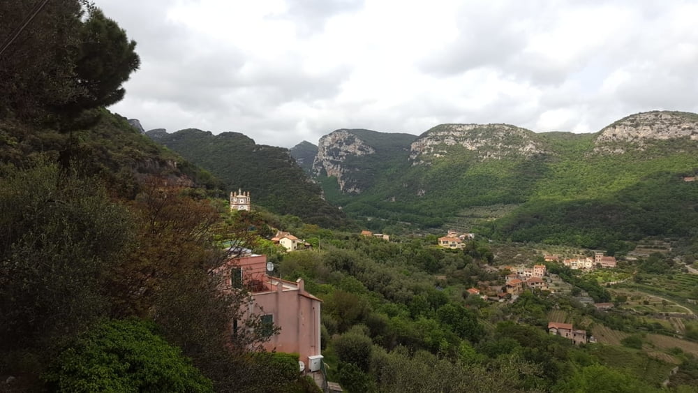

Viel Asphalt, einige Trails (meistens S0) und Forstwege: vom Camping Tahiti an der Küstenstrasse nach Borgio. Dann auf nebenstrassen nach Pietra Ligure und weiter nach Loano. Dann hoch Richtung Monte Carmo. Ca. 2km vordem Rifugio fahren wir rechts am Berghang entlang Richtung Giustenice und weiter nach Tovo San Giacomo. Wieder den Berg hoch nach Bardino Vecchio und über Portio hinauf zumr Madonna della Guardia. Forstweg hinunter nach Molino (viele kleine Äste auf dem Weg). Auf der Strasse nach Calice Ligure und dann hinauf nach Perti. Über Castel Gavone nach Finalborgo und zurückzum Camping.
Mapa trasy i profil wysokości
Minimum height -27 m
Maximum height 547 m
More about the tour author
|
|
Fruehaufsteher |
Komentarze

GPS tracks
Trackpoints-
GPX / Garmin Map Source (gpx) download
-
TCX / Garmin Training Center® (tcx) download
-
CRS / Garmin Training Center® (crs) download
-
Google Earth (kml) download
-
G7ToWin (g7t) download
-
TTQV (trk) download
-
Overlay (ovl) download
-
Fugawi (txt) download
-
Kompass (DAV) Track (tk) download
-
Karta trasy (pdf) download
-
Original file of the author (gpx) download
More about the tour author
|
|
Fruehaufsteher |
Add to my favorites
Remove from my favorites
Edit tags
Open track
My score
Rate