

Start der Tour ist in Enzesfeld in der Fasangasse/Hangernstraße.
Die Strecke verläuft über die Pfarrkogelstrecke und Waldwege nach Steinabrückl.
Ab Steinabrückl geht es auf dem Piestingtalradweg durch Wöllersdorf, Piesting, Oberpiesting, Wopfing und Waldegg nach Pernitz.
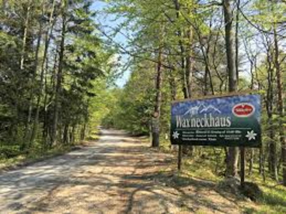
In Pernitz zweigt die "Panoramarunde" ab, die zur Waxeneck Schutzhütte führt.
Von der Schutzhütte geht es über die "Steinwandklammstrecke" und Wanderwege begab nach Berndorf.
Ab Berndorf auf dem Triestingtalradweg durch St.Veit und Hirtenberg zurück nach Enzesfeld.
Further information at
https://www.schutzhauswaxeneck.com/Galeria trasy


Mapa trasy i profil wysokości
Minimum height 279 m
Maximum height 769 m
More about the tour author
|
|
kersti |
Komentarze

Parkmöglichkeit in der Hangernstr.
GPS tracks
Trackpoints-
GPX / Garmin Map Source (gpx) download
-
TCX / Garmin Training Center® (tcx) download
-
CRS / Garmin Training Center® (crs) download
-
Google Earth (kml) download
-
G7ToWin (g7t) download
-
TTQV (trk) download
-
Overlay (ovl) download
-
Fugawi (txt) download
-
Kompass (DAV) Track (tk) download
-
Karta trasy (pdf) download
-
Original file of the author (gpx) download
More about the tour author
|
|
kersti |
Add to my favorites
Remove from my favorites
Edit tags
Open track
My score
Rate