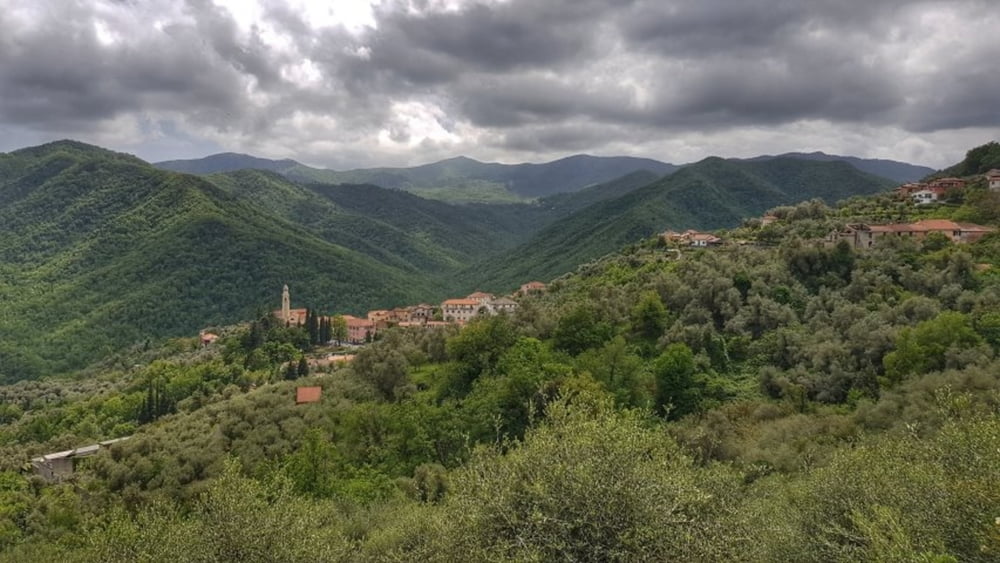
Heute bis auf wenige Meter auf Asphalt unterwegs. Nachdem der Aufstieg nach Ligo geschafft ist, geht es entspannt auf der Höhenstraße weiter. Immer wieder liegen kleine Ortschaften am Wegesrand. Ab Castellaro geht es dann wieder hinunter und das durchgehend bis kurz vor dem Camping. Eine super Strecke. #noebike
Galeria trasy
Mapa trasy i profil wysokości
Minimum height 34 m
Maximum height 380 m
Komentarze

GPS tracks
Trackpoints-
GPX / Garmin Map Source (gpx) download
-
TCX / Garmin Training Center® (tcx) download
-
CRS / Garmin Training Center® (crs) download
-
Google Earth (kml) download
-
G7ToWin (g7t) download
-
TTQV (trk) download
-
Overlay (ovl) download
-
Fugawi (txt) download
-
Kompass (DAV) Track (tk) download
-
Karta trasy (pdf) download
-
Original file of the author (gpx) download
Add to my favorites
Remove from my favorites
Edit tags
Open track
My score
Rate


