Login

Zapomniałeś swój login?

Cookies have to be accepted!
Your browser's cookie functionality is disabled. Please enable this functionality.

Not a member yet?

Register now
Login

Available for registred users only

Log in to use this feature.

Zapomniałeś swój login?

Cookies have to be accepted!
Your browser's cookie functionality is disabled. Please enable this functionality.

Not a member yet?

Register now
Filter
Kategorie
Advanced filters
  • Długość (km)
  • Wysokość
Zapisz filtr Reset filter

TrackRank

QRCode

Technical data

Długość45,0 km Wysokość1169 m Way down1265 m Czas trwania05:40 h:m Data10.06.2019
Oceny Author User Krajobraz Czynnik zadowolenia Kondycja Technika

Statystyka

341 Widoki 1 Ocena 149 Downloads / Pliki do pobrania 5.00 Przeciętnie
Rate
  • Karta trasy
  • Dojazd
  • Downloads / Pliki do pobrania

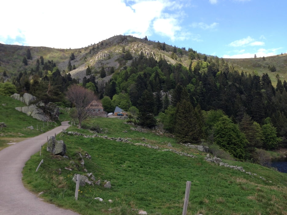
Diese Tour führt zum Lac Vert und Lac du Forlet.

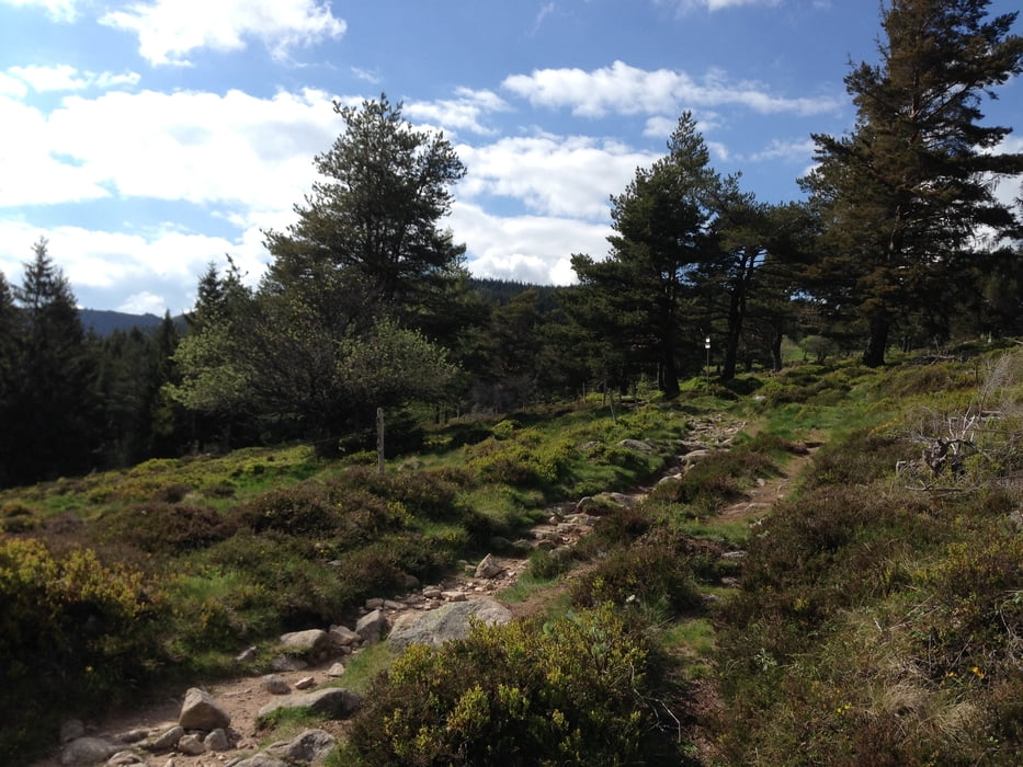
Der Aufstieg erfolgt fern ab der Straße zum Col de la Schlucht, auf dankbar fahrbaren Waldwegen, so dass es bei dieser Tour beim Aufstieg nicht so viel Lärm durch Motorradfahrer gibt. 

Selbstverständlich erwartet Euch nach der Plackerei die tolle Trailsabfahrt nach Turckheim.


Galeria trasy

Mapa trasy i profil wysokości

  • Open Street Map
  • Google
Minimum height 234 m Maximum height 1165 m Widok szczegółowy

More about the tour author

Flitz
Member since 2009

Send private message

Komentarze

Gewau on 23.07.2020

Tolle Tour

Danke an den "Einsteller". Wir sind die Tour heute gefahren, eine wahre Freude - nicht zu stressiger Aufstieg und danach sehr schöne Trails, durchaus auch mit einigen Schwierigkeitsgraden!
Gerne nochmal!

Startpunkt: Münster

Endpunkt: Turckheim

GPS tracks

Trackpoints
  • GPX / Garmin Map Source (gpx) download
  • TCX / Garmin Training Center® (tcx) download
  • CRS / Garmin Training Center® (crs) download
  • Google Earth (kml) download
  • G7ToWin (g7t) download
  • TTQV (trk) download
  • Overlay (ovl) download
  • Fugawi (txt) download
  • Kompass (DAV) Track (tk) download
  • Karta trasy (pdf) download
  • Original file of the author (gpx) download

More about the tour author

Flitz
Member since 2009

Send private message
Share track
Add to my favorites
Remove from my favorites
Edit tags
My score
Rate
Trasa: Vogesen: Trails wie Speck
Rodzaj: Rower górski (MTB)
Długość: 45,0 km
Evaluated on:
Czas trwania:
Day(s)
Hour(s)
Minute(s)
Ocena: Krajobraz Czynnik zadowolenia Kondycja Technika