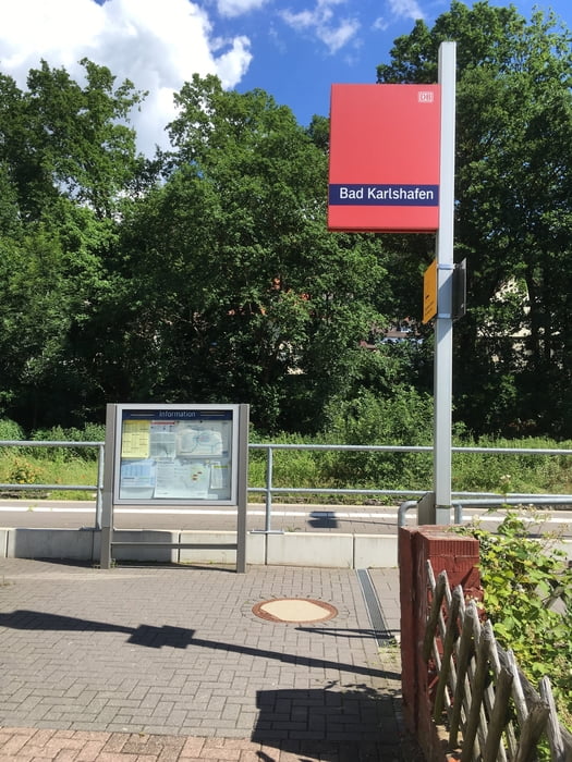
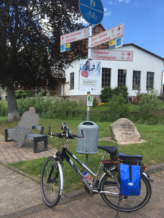
Vom Bahnhof Bad Karlshafen auf der rechten Weserseite flussabwärts zur Fähre Würgassen. Auf der linken Flussseite flussaufwärts über die Innenstadt von Bad Karlshafen nach Gieselwerder. Dort über die Weserbrücke zurück auf die rechte Seite. Über Lippoldsberg, Bodenfelde und Wahmbeck zurück zum Bahnhof.
Galeria trasy
Mapa trasy i profil wysokości
Minimum height 95 m
Maximum height 145 m
Komentarze

GPS tracks
Trackpoints-
GPX / Garmin Map Source (gpx) download
-
TCX / Garmin Training Center® (tcx) download
-
CRS / Garmin Training Center® (crs) download
-
Google Earth (kml) download
-
G7ToWin (g7t) download
-
TTQV (trk) download
-
Overlay (ovl) download
-
Fugawi (txt) download
-
Kompass (DAV) Track (tk) download
-
Karta trasy (pdf) download
-
Original file of the author (gpx) download
Add to my favorites
Remove from my favorites
Edit tags
Open track
My score
Rate


