Login

Zapomniałeś swój login?

Cookies have to be accepted!
Your browser's cookie functionality is disabled. Please enable this functionality.

Not a member yet?

Register now
Login

Available for registred users only

Log in to use this feature.

Zapomniałeś swój login?

Cookies have to be accepted!
Your browser's cookie functionality is disabled. Please enable this functionality.

Not a member yet?

Register now
Filter
Kategorie
Advanced filters
  • Długość (km)
  • Wysokość
Zapisz filtr Reset filter

TrackRank

QRCode

Technical data

Długość14,1 km Wysokość295 m Way down299 m Czas trwania03:00 h:m Data14.06.2019
Oceny Author Krajobraz Czynnik zadowolenia Kondycja Technika

Statystyka

370 Widoki Oceny 9 Downloads / Pliki do pobrania Przeciętnie
Rate
  • Karta trasy
  • Dojazd
  • Downloads / Pliki do pobrania
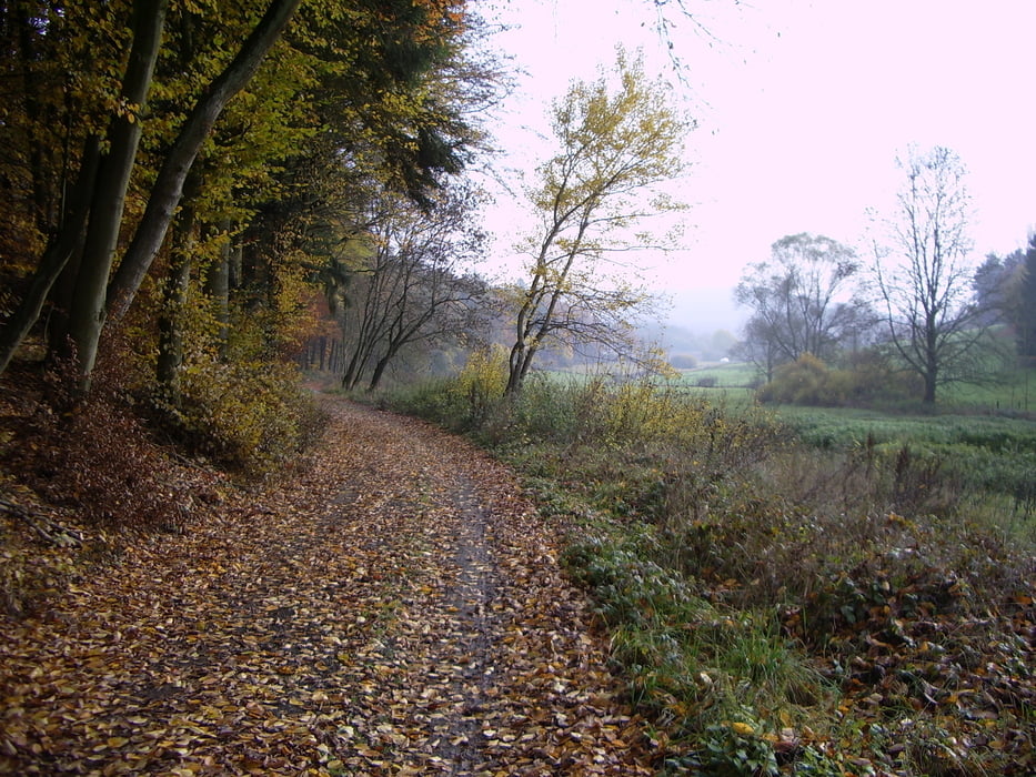
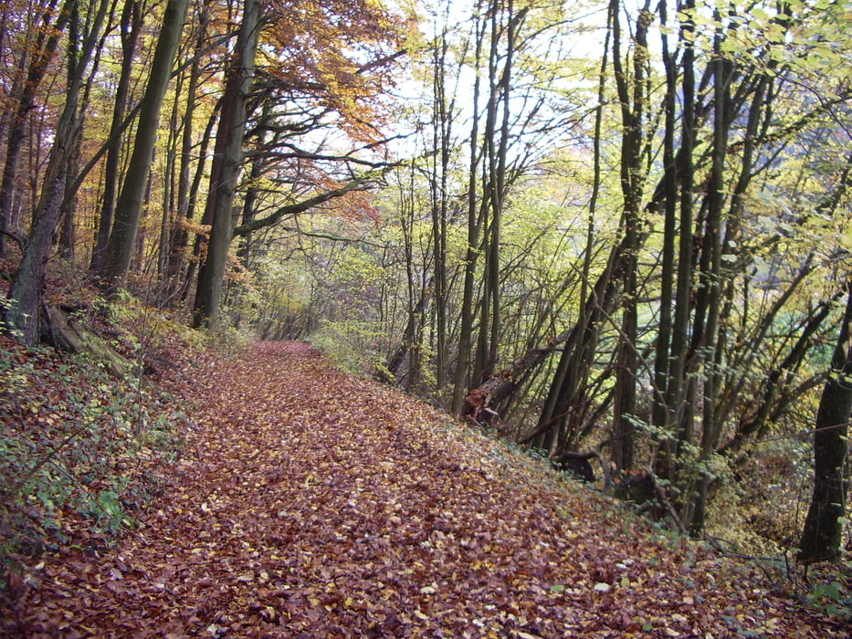
Schöner Rundweg mit Start und Ziel in Erda. Der Weg führt in Richtung Frankenbach zum Dünsbergsgrund dann einen schmalen Weg hoch in Richtung Dünsberg und am Hang entlang zum Parkplatz Obermühle. Hier wäre auch der Start möglich. Von hier vorbei an den Lindenhöfen zur Philipstanne und zurück nach Erda.

Further information at

http://www.lahn-dill-bergland.de

Galeria trasy

Mapa trasy i profil wysokości

  • Open Street Map
  • Google
Minimum height 218 m Maximum height 362 m Widok szczegółowy

More about the tour author

Arno Brueck
Member since 2007

Send private message

Komentarze

Start und Ziel ist am Sportplatz in Erda.

Alternativ der Parkplatz Obermühle in Bieber.

GPS tracks

Trackpoints
  • GPX / Garmin Map Source (gpx) download
  • TCX / Garmin Training Center® (tcx) download
  • CRS / Garmin Training Center® (crs) download
  • Google Earth (kml) download
  • G7ToWin (g7t) download
  • TTQV (trk) download
  • Overlay (ovl) download
  • Fugawi (txt) download
  • Kompass (DAV) Track (tk) download
  • Karta trasy (pdf) download
  • Original file of the author (gpx) download

More about the tour author

Arno Brueck
Member since 2007

Send private message
Share track
Add to my favorites
Remove from my favorites
Edit tags
My score
Rate
Trasa: Rundweg ab Erda, Dünsbergsgrund, Helfholz
Rodzaj: Wędrówki
Długość: 14,1 km
Evaluated on:
Czas trwania:
Day(s)
Hour(s)
Minute(s)
Ocena: Krajobraz Czynnik zadowolenia Kondycja Technika