Login

Zapomniałeś swój login?

Cookies have to be accepted!
Your browser's cookie functionality is disabled. Please enable this functionality.

Not a member yet?

Register now
Login

Available for registred users only

Log in to use this feature.

Zapomniałeś swój login?

Cookies have to be accepted!
Your browser's cookie functionality is disabled. Please enable this functionality.

Not a member yet?

Register now
Filter
Kategorie
Advanced filters
  • Długość (km)
  • Wysokość
Zapisz filtr Reset filter

TrackRank

QRCode

Technical data

Długość43,2 km Wysokość427 m Way down425 m Czas trwania00:00 h:m Data29.06.2019
Oceny Author Krajobraz Czynnik zadowolenia Kondycja Technika

Statystyka

145 Widoki Oceny 5 Downloads / Pliki do pobrania Przeciętnie
Rate
  • Karta trasy
  • Dojazd
  • Downloads / Pliki do pobrania
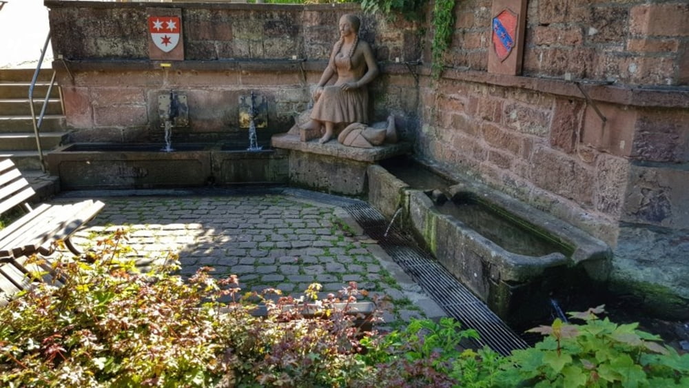
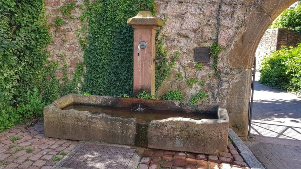
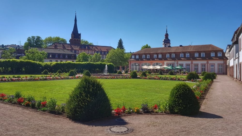
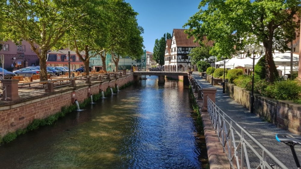
Heute wieder ein paar Grad wärmer wie gestern, daher nur entspanntes Fahren auf dem Mümlingtalradweg nach Erbach. Bei der Gelegenheit wollte ich mal nach dem Dorfbrunnen in Stockheim suchen. Den habe ich dann auch auf Anhieb gefunden, unmittelbar an der Stockheimer Mühle. Brunnen und Mühle stehen unter Denkmalschutz. Dann noch bis zum Lustgarten in Erbach und locker zurück nach Höchst. #noebike

Galeria trasy

Mapa trasy i profil wysokości

  • Open Street Map
  • Google
Minimum height 157 m Maximum height 233 m Widok szczegółowy

More about the tour author

mh021255
Member since 2009

Send private message

Komentarze

GPS tracks

Trackpoints
  • GPX / Garmin Map Source (gpx) download
  • TCX / Garmin Training Center® (tcx) download
  • CRS / Garmin Training Center® (crs) download
  • Google Earth (kml) download
  • G7ToWin (g7t) download
  • TTQV (trk) download
  • Overlay (ovl) download
  • Fugawi (txt) download
  • Kompass (DAV) Track (tk) download
  • Karta trasy (pdf) download
  • Original file of the author (gpx) download

More about the tour author

mh021255
Member since 2009

Send private message
Share track
Add to my favorites
Remove from my favorites
Edit tags
My score
Rate
Trasa: von Brunnen zu Brunnen nach Erbach
Rodzaj: Trasy rowerowe
Długość: 43,2 km
Evaluated on:
Czas trwania:
Day(s)
Hour(s)
Minute(s)
Ocena: Krajobraz Czynnik zadowolenia Kondycja Technika