Login

Zapomniałeś swój login?

Cookies have to be accepted!
Your browser's cookie functionality is disabled. Please enable this functionality.

Not a member yet?

Register now
Login

Available for registred users only

Log in to use this feature.

Zapomniałeś swój login?

Cookies have to be accepted!
Your browser's cookie functionality is disabled. Please enable this functionality.

Not a member yet?

Register now
Filter
Kategorie
Advanced filters
  • Długość (km)
  • Wysokość
Zapisz filtr Reset filter

TrackRank

QRCode

Technical data

Długość30,8 km Wysokość623 m Way down620 m Czas trwania00:00 h:m Data05.07.2019
Oceny Author Krajobraz Czynnik zadowolenia Kondycja Technika

Statystyka

97 Widoki Oceny 2 Downloads / Pliki do pobrania Przeciętnie
Rate
  • Karta trasy
  • Dojazd
  • Downloads / Pliki do pobrania
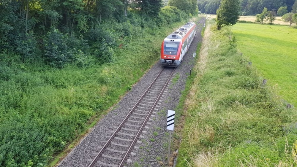
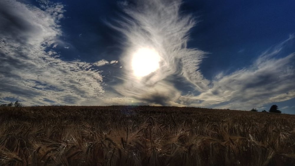
Heute perfektes Biergartenwetter. Also rauf aufs Bike und los gehts. Zum Warmwerden erst mal auf den Schorschberg. Dann hinunter in den Kellergrund. Vorbei am Heubacher Sportplatz dann hinauf zum Kehrmich. Hier schöne Sichten nach Umstadt und zum Otzberg. Dann hinunter zum Biergarten unter alten Kastanien. Nach Speis und Trank über Wiebelsbach hoch zum Rondell und dann ab nach Hause. #noebike

Galeria trasy

Mapa trasy i profil wysokości

  • Open Street Map
  • Google
Minimum height 160 m Maximum height 367 m Widok szczegółowy

More about the tour author

mh021255
Member since 2009

Send private message

Komentarze

GPS tracks

Trackpoints
  • GPX / Garmin Map Source (gpx) download
  • TCX / Garmin Training Center® (tcx) download
  • CRS / Garmin Training Center® (crs) download
  • Google Earth (kml) download
  • G7ToWin (g7t) download
  • TTQV (trk) download
  • Overlay (ovl) download
  • Fugawi (txt) download
  • Kompass (DAV) Track (tk) download
  • Karta trasy (pdf) download
  • Original file of the author (gpx) download

More about the tour author

mh021255
Member since 2009

Send private message
Share track
Add to my favorites
Remove from my favorites
Edit tags
My score
Rate
Trasa: zum Biergarten nach Umscht
Rodzaj: Rower górski (MTB)
Długość: 30,8 km
Evaluated on:
Czas trwania:
Day(s)
Hour(s)
Minute(s)
Ocena: Krajobraz Czynnik zadowolenia Kondycja Technika