Login

Zapomniałeś swój login?

Cookies have to be accepted!
Your browser's cookie functionality is disabled. Please enable this functionality.

Not a member yet?

Register now
Login

Available for registred users only

Log in to use this feature.

Zapomniałeś swój login?

Cookies have to be accepted!
Your browser's cookie functionality is disabled. Please enable this functionality.

Not a member yet?

Register now
Filter
Kategorie
Advanced filters
  • Długość (km)
  • Wysokość
Zapisz filtr Reset filter

TrackRank

QRCode

Technical data

Długość564,3 km Wysokość3912 m Way down3928 m Czas trwania22 days 0 h Data21.07.2019
Oceny Author Krajobraz Czynnik zadowolenia Kondycja Technika

Statystyka

109 Widoki Oceny 8 Downloads / Pliki do pobrania Przeciętnie
Rate
  • Karta trasy
  • Dojazd
  • Downloads / Pliki do pobrania
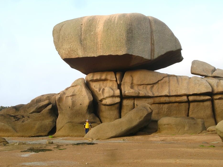
Start in Rennes, über Vitre und Fougeres nach Mont Saint Michel, Saint Malo. Immer an der Küste entlang mit teils anstrengenden Steigungen. Wanderung auf der Ile Brehat und Küstenweg weiter, Ausflug zu den "7 Inseln(Vogelkolonie)", Küstenwanderung "Cote de granite rose" und zum Ende unserer Tour nach Lannion.

Galeria trasy

Mapa trasy i profil wysokości

  • Open Street Map
  • Google
Minimum height 1 m Maximum height 171 m Widok szczegółowy

More about the tour author

raiwal58
Member since 2009

Send private message

Komentarze

Anreise mit Flugzeug nach Rennes, zurück nach Zugfahrt bis Brest

GPS tracks

Trackpoints
  • GPX / Garmin Map Source (gpx) download
  • TCX / Garmin Training Center® (tcx) download
  • CRS / Garmin Training Center® (crs) download
  • Google Earth (kml) download
  • G7ToWin (g7t) download
  • TTQV (trk) download
  • Overlay (ovl) download
  • Fugawi (txt) download
  • Kompass (DAV) Track (tk) download
  • Karta trasy (pdf) download
  • Original file of the author (gpx) download

More about the tour author

raiwal58
Member since 2009

Send private message
Share track
Add to my favorites
Remove from my favorites
Edit tags
My score
Rate
Trasa: Bretagne Nordküste
Rodzaj: Trasy rowerowe
Długość: 564,3 km
Evaluated on:
Czas trwania:
Day(s)
Hour(s)
Minute(s)
Ocena: Krajobraz Czynnik zadowolenia Kondycja Technika