


Hier erwartet euch eine schöne Tagesradtour.
Start und Ziel ist "Gorden" am Kostenlosen Parkplatz (2015) am Sportplatz, hier gibt es auch eine Pension (Sportlereck) (von mir aber nicht ausprobiert).
Ein teil der Strecke führt durch den Wald auf Schotter und Waldwege, der andere teil ruhige Nebenstraßen und Fahrradwege.
Es gibt unterwegs genügend Rastplätze und die eine oder andere Bademöglichkeit ;-)
PS: Tour ist von allen überflüssigen Wegpunkten bereinigt. ;-) )
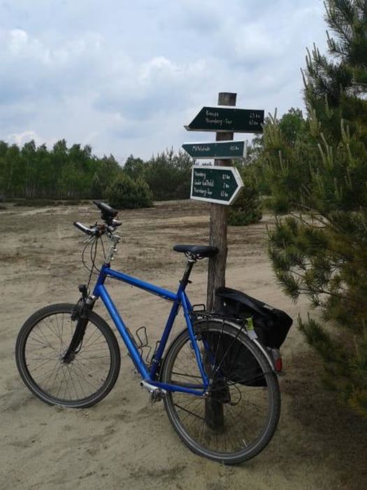
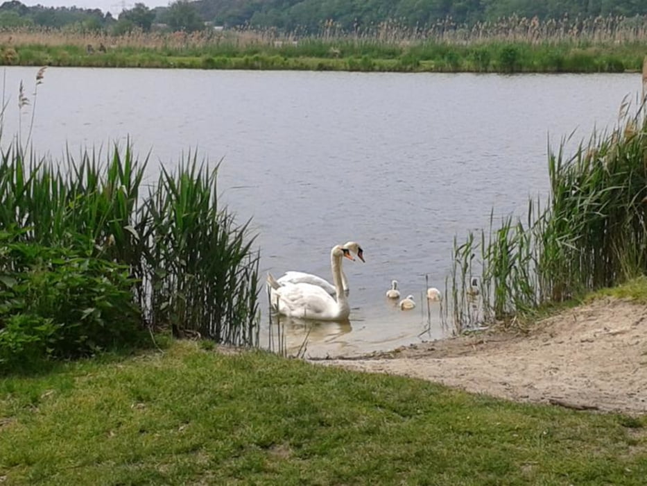
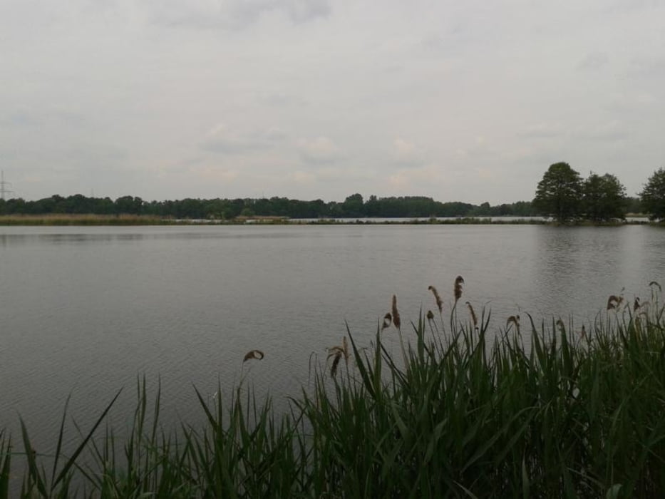
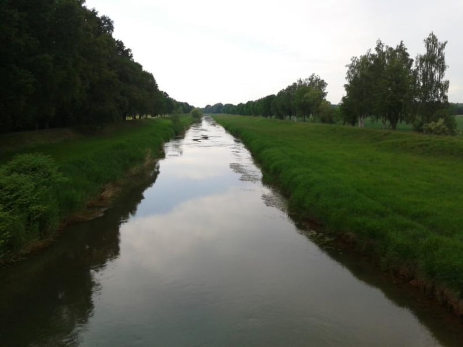
Galeria trasy
Mapa trasy i profil wysokości
Minimum height 93 m
Maximum height 151 m
More about the tour author
|
|
tret_werk |
Komentarze

Der Startpunkt der Tour kann auch als Anreisepunkt gewählt werden. Hier in "Gorden" am Sportplatz stehen genügend kostenlose Parkplätze zur verfügung (Stand 2015)
GPS tracks
Trackpoints-
GPX / Garmin Map Source (gpx) download
-
TCX / Garmin Training Center® (tcx) download
-
CRS / Garmin Training Center® (crs) download
-
Google Earth (kml) download
-
G7ToWin (g7t) download
-
TTQV (trk) download
-
Overlay (ovl) download
-
Fugawi (txt) download
-
Kompass (DAV) Track (tk) download
-
Karta trasy (pdf) download
-
Original file of the author (gpx) download
More about the tour author
|
|
tret_werk |
Add to my favorites
Remove from my favorites
Edit tags
Open track
My score
Rate