


Wandertour startet und endet in Münchehofe (Märkische Schweiz) auf einem Kostenlosen Parkplatz (Info aus dem Jahr 2016 mit über 50 Parkplätze).
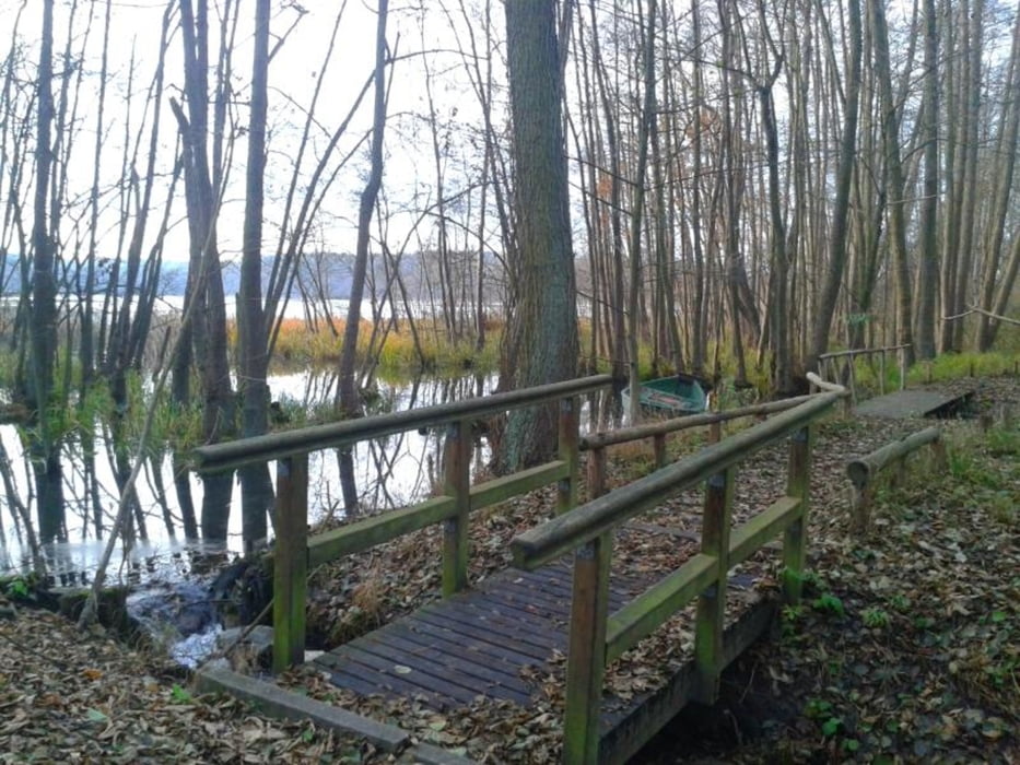
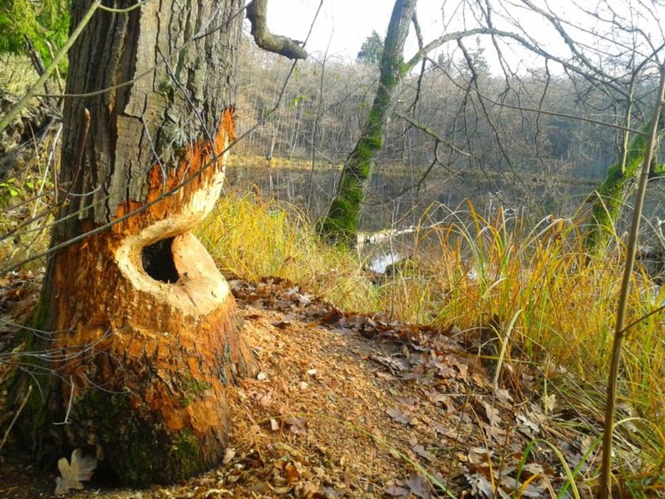
Die Rundwanderung führt euch an ein paar Seen, Flüsse und deren Moorartigen umgebungen vorbei. Die hinterlassenen spuren der sich hier wieder ansiedelnden Biber sind deutlich zu sehen. ;-)
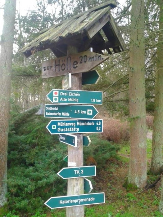
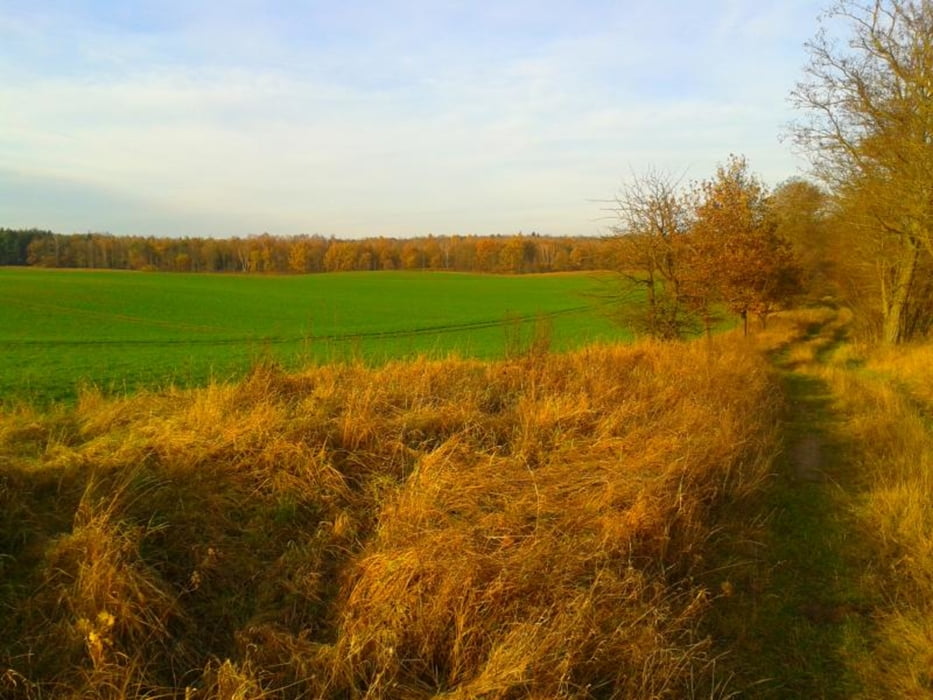
Alle Wege sind vorhanden und gut begehbar.
Es gibt unterwegs ein paar Sitzbänke und diverse Bademöglichkeiten. ;-)
PS: Tour ist von allen überflüssigen Wegpunkten bereinigt.
Nun viel Spaß beim Wandern.
Galeria trasy
Mapa trasy i profil wysokości
Minimum height 4 m
Maximum height 66 m
More about the tour author
|
|
tret_werk |
Komentarze

Der Startpunkt der Tour kann auch als Anreisepunkt gewählt werden.
In Münchehöfe gibt es genügend kostenlose Parkplätze
GPS tracks
Trackpoints-
GPX / Garmin Map Source (gpx) download
-
TCX / Garmin Training Center® (tcx) download
-
CRS / Garmin Training Center® (crs) download
-
Google Earth (kml) download
-
G7ToWin (g7t) download
-
TTQV (trk) download
-
Overlay (ovl) download
-
Fugawi (txt) download
-
Kompass (DAV) Track (tk) download
-
Karta trasy (pdf) download
-
Original file of the author (gpx) download
More about the tour author
|
|
tret_werk |
Add to my favorites
Remove from my favorites
Edit tags
Open track
My score
Rate