


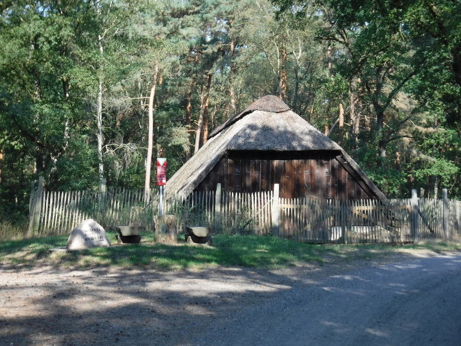
Die Tour führt durch die Gifhorner Heide, um den Waldsee und weiter den Naturlehrpfad entlang.
Unterwegs gibt es eine kleine Rasthütte oder man kehrt zu Beginn oder am Ende in eins der zahlreichen Restaurants ein.
Besonders schön, wenn die Heide blüht.
Die Strecke im Heidegebiet ist manchmal etwas schwierig oder gar nicht mit dem Fahrrad zu fahren, weil der Boden sandig ist. Manchmal so weich, dass man nicht vorwärts kommt. Dies sind jedoch sehr kurze Stecken, die man dann eben absteigt und schiebt. ;-)
Die Tour habe ich vom Parkplatz Birkenheide aus gestartet. Die Aufzeichnung begann aber erst etwas später. (Habe ich dann erst bemerkt.) Es sollte aber auch so gut zu finden sein.
Galeria trasy


Mapa trasy i profil wysokości
Minimum height 79 m
Maximum height 136 m
More about the tour author
|
|
Brattie |
Komentarze

Von Ribbesbüttel die Winkler Straße bis Birkenheide (Parkplatz).
Oder den Eyßelheideweg bis zur Winkler Straße und Birkenheide.
GPS tracks
Trackpoints-
GPX / Garmin Map Source (gpx) download
-
TCX / Garmin Training Center® (tcx) download
-
CRS / Garmin Training Center® (crs) download
-
Google Earth (kml) download
-
G7ToWin (g7t) download
-
TTQV (trk) download
-
Overlay (ovl) download
-
Fugawi (txt) download
-
Kompass (DAV) Track (tk) download
-
Karta trasy (pdf) download
-
Original file of the author (gpx) download
More about the tour author
|
|
Brattie |
Add to my favorites
Remove from my favorites
Edit tags
Open track
My score
Rate