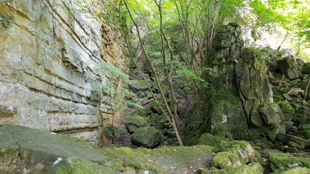
Heute mal eine Wanderung in der Luxemburgischen Schweiz. Start am Camping in Echternacherbrück. Erst mal über die Grenze und durch Echternach, bevor es aufi geht in den Wald hinein. Eine Felsformation nach der anderen durchwandern wir. Als Höhepunkte währen zu nennen die Wolfsschlucht, das Labyrinthe, Hohllay, Amphithéatre Breechkaul und das Geierslay. Eine großartige Runde.
Galeria trasy
Mapa trasy i profil wysokości
Minimum height 206 m
Maximum height 365 m
Komentarze

GPS tracks
Trackpoints-
GPX / Garmin Map Source (gpx) download
-
TCX / Garmin Training Center® (tcx) download
-
CRS / Garmin Training Center® (crs) download
-
Google Earth (kml) download
-
G7ToWin (g7t) download
-
TTQV (trk) download
-
Overlay (ovl) download
-
Fugawi (txt) download
-
Kompass (DAV) Track (tk) download
-
Karta trasy (pdf) download
-
Original file of the author (gpx) download
Add to my favorites
Remove from my favorites
Edit tags
Open track
My score
Rate


