


Auf dem Weg neben der Bahnlinie nach links, am höchsten Punkt links ab durch Wald Vor Steinach an Straße links auf Wiesenweg leicht bergan zu idyllischem Weiher. Kurz auf Schotterweg nach links, am Waldsaum links über Wiese beginnt das Tiefenbach- Tal.
Es geht durch das naturbelassene, wunderbare Tälchen zum Hotel Wildbad. Auf Sträßchen kurz aufwärts, scharf links zum Parkplatz und rechts auf Waldweg weiter, bald auf schnurgeradem Weg durch den Stadtwald mit vielen Infotafeln zum "Teufelshäuschen" und nach rechts abwärts zum Parkplatz.
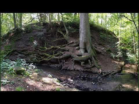
Galeria trasy


Mapa trasy i profil wysokości
Minimum height 368 m
Maximum height 502 m
More about the tour author
|
|
heinz-57 |
Komentarze

GPS tracks
Trackpoints-
GPX / Garmin Map Source (gpx) download
-
TCX / Garmin Training Center® (tcx) download
-
CRS / Garmin Training Center® (crs) download
-
Google Earth (kml) download
-
G7ToWin (g7t) download
-
TTQV (trk) download
-
Overlay (ovl) download
-
Fugawi (txt) download
-
Kompass (DAV) Track (tk) download
-
Karta trasy (pdf) download
-
Original file of the author (gpx) download
More about the tour author
|
|
heinz-57 |
Add to my favorites
Remove from my favorites
Edit tags
Open track
My score
Rate