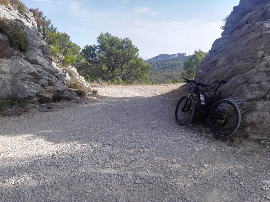
Von Saint-Remy-de-Provence geht es hoch auf und durch die Berge und wieder zurück. Ich bin die Tour im Uhrzeigersinn gefahren (bei km 15 musste ich dann ein Stück schieben), aber auch anders herum fahrbar bis auf einen kleinen Single Trail, den man dann halt hoch muss.
Oben wird man mit tollen Aussichten in die Ebene belohnt. Die Wege waren für mich bis auf wenige Ausnahmen fahrbar.
Galeria trasy
Mapa trasy i profil wysokości
Minimum height 33 m
Maximum height 321 m
Komentarze

Starten kann man eigentlich überall, die Route startet und endet auf dem Campingplatz Mas de Nicolas.
GPS tracks
Trackpoints-
GPX / Garmin Map Source (gpx) download
-
TCX / Garmin Training Center® (tcx) download
-
CRS / Garmin Training Center® (crs) download
-
Google Earth (kml) download
-
G7ToWin (g7t) download
-
TTQV (trk) download
-
Overlay (ovl) download
-
Fugawi (txt) download
-
Kompass (DAV) Track (tk) download
-
Karta trasy (pdf) download
-
Original file of the author (gpx) download
Add to my favorites
Remove from my favorites
Edit tags
Open track
My score
Rate


