
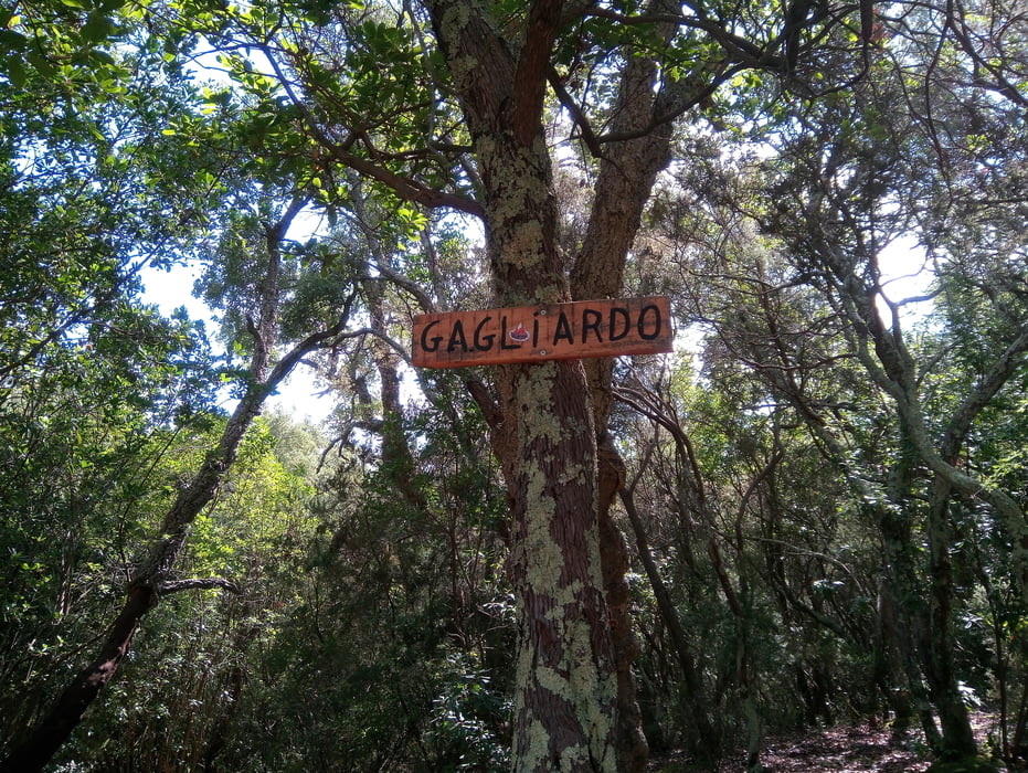

vom Camping Baia Verde zum I Cavalli und auf das Sträßchen nach Pian Alma. Durch eine Schranke geht der Weg sanft hinauf, durch 2 Bachbette und dannRrichtung Scarlino. Nach ca. 2 km rechts hoch auf Kiesweg zum Gagliardo-Trail (S1). Dann auf einem Kiessträßchen hinauf nach Tirli. Dann den Soccer Line runter (meistens S3 - Steil - hohe Stufen - tiefe Rinnen - Sprunghügel mit Chickenway). Man kommt dann unten auf dem Hinweg wieder raus. Dann zurück zum Camping.
Further information at
https://www.baiaverde.com/de/Galeria trasy

Mapa trasy i profil wysokości
Minimum height 16 m
Maximum height 418 m
More about the tour author
|
|
Fruehaufsteher |
Komentarze

GPS tracks
Trackpoints-
GPX / Garmin Map Source (gpx) download
-
TCX / Garmin Training Center® (tcx) download
-
CRS / Garmin Training Center® (crs) download
-
Google Earth (kml) download
-
G7ToWin (g7t) download
-
TTQV (trk) download
-
Overlay (ovl) download
-
Fugawi (txt) download
-
Kompass (DAV) Track (tk) download
-
Karta trasy (pdf) download
-
Original file of the author (gpx) download
More about the tour author
|
|
Fruehaufsteher |
Add to my favorites
Remove from my favorites
Edit tags
Open track
My score
Rate