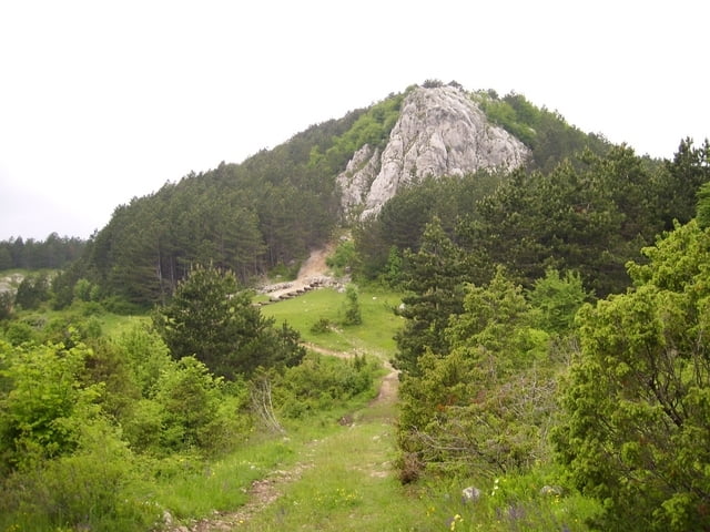
Wandertour zu Korita-Quelle im istrischen Karstgebirge Ucka.
Galeria trasy
Mapa trasy i profil wysokości
Minimum height 723 m
Maximum height 1014 m
Komentarze

Von Rejeka aus die A3 bis Lupoglav fahren und von dort über eine befestigte Landstraße nach Brdudac. Der
Parkplatz vor dem Dorf (auch für größere Fahrzeuge geeignet)
GPS tracks
Trackpoints-
GPX / Garmin Map Source (gpx) download
-
TCX / Garmin Training Center® (tcx) download
-
CRS / Garmin Training Center® (crs) download
-
Google Earth (kml) download
-
G7ToWin (g7t) download
-
TTQV (trk) download
-
Overlay (ovl) download
-
Fugawi (txt) download
-
Kompass (DAV) Track (tk) download
-
Karta trasy (pdf) download
-
Original file of the author (gpx) download
Add to my favorites
Remove from my favorites
Edit tags
Open track
My score
Rate


