Login

Zapomniałeś swój login?

Cookies have to be accepted!
Your browser's cookie functionality is disabled. Please enable this functionality.

Not a member yet?

Register now
Login

Available for registred users only

Log in to use this feature.

Zapomniałeś swój login?

Cookies have to be accepted!
Your browser's cookie functionality is disabled. Please enable this functionality.

Not a member yet?

Register now
Filter
Kategorie
Advanced filters
  • Długość (km)
  • Wysokość
Zapisz filtr Reset filter

TrackRank

QRCode

Technical data

Długość87,8 km Wysokość2092 m Way down2095 m Czas trwania00:00 h:m Data03.10.2019
Oceny Author Krajobraz Czynnik zadowolenia Kondycja Technika

Statystyka

947 Widoki Oceny 210 Downloads / Pliki do pobrania Przeciętnie
Rate
  • Karta trasy
  • Dojazd
  • Downloads / Pliki do pobrania

Gardaseeklassiker ... einmal im Jahr MUSS sein :-)

Arco

Riva

Ponale Straße

Ledrosee

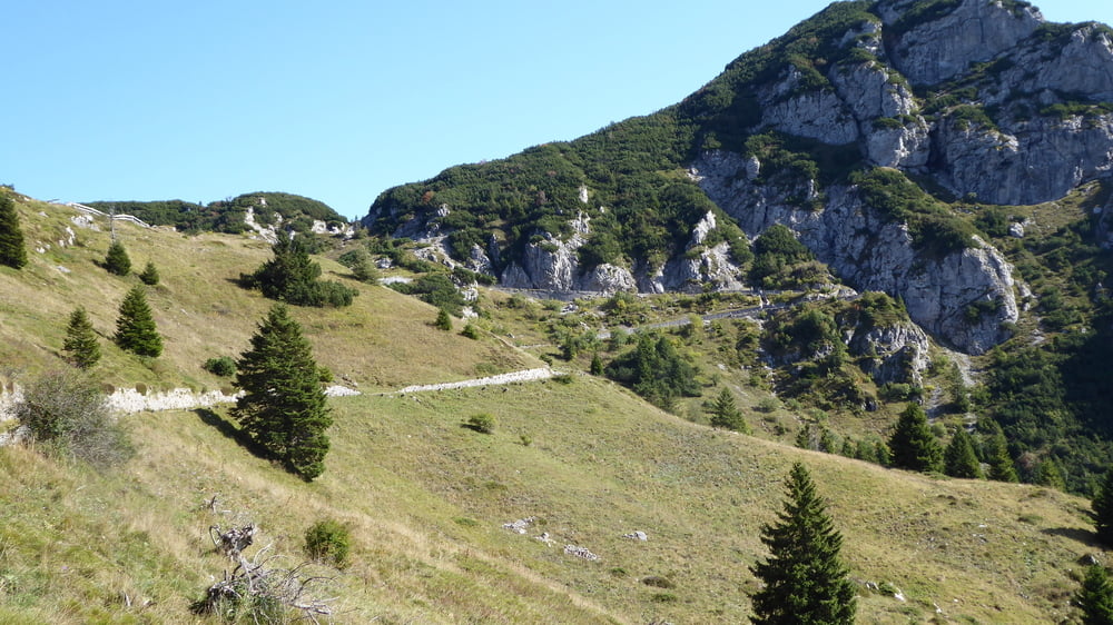
Auffahrt 12KM zum Passo Tremalzo

Abfahrt auf Schotter

Passo Nota

Passo Guil

knusprige Abfahrt nach Pregasina


Galeria trasy

Mapa trasy i profil wysokości

  • Open Street Map
  • Google
Minimum height 71 m Maximum height 1824 m Widok szczegółowy

More about the tour author

Hoar
Member since 2009

Send private message

Komentarze

GPS tracks

Trackpoints
  • GPX / Garmin Map Source (gpx) download
  • TCX / Garmin Training Center® (tcx) download
  • CRS / Garmin Training Center® (crs) download
  • Google Earth (kml) download
  • G7ToWin (g7t) download
  • TTQV (trk) download
  • Overlay (ovl) download
  • Fugawi (txt) download
  • Kompass (DAV) Track (tk) download
  • Karta trasy (pdf) download
  • Original file of the author (gpx) download

More about the tour author

Hoar
Member since 2009

Send private message
Share track
Add to my favorites
Remove from my favorites
Edit tags
My score
Rate
Trasa: Tremalzo Passo Nota Pregasina
Rodzaj: Rower górski (MTB)
Długość: 87,8 km
Evaluated on:
Czas trwania:
Day(s)
Hour(s)
Minute(s)
Ocena: Krajobraz Czynnik zadowolenia Kondycja Technika