

Auffahrt auf Asphalt zum Monte Velo
ein Stück Richtung Malga Stivo
weiter auf Wanderweg und Schotterweg zur Malga Somator
Abfahrt auf "sehr verkehrsberuhigtem" Waldweg
über Nago retour
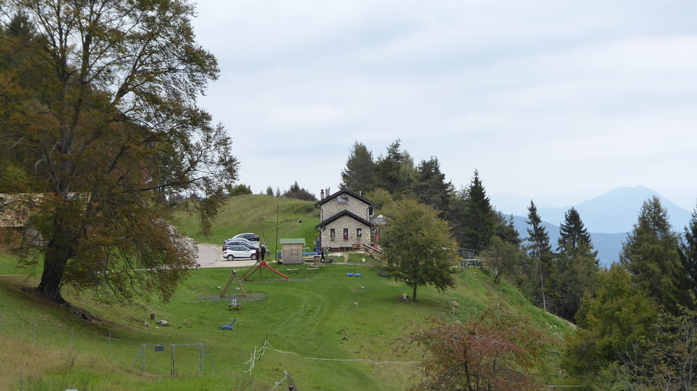
Galeria trasy


Mapa trasy i profil wysokości
Minimum height 95 m
Maximum height 1369 m
More about the tour author
|
|
Hoar |
Komentarze

GPS tracks
Trackpoints-
GPX / Garmin Map Source (gpx) download
-
TCX / Garmin Training Center® (tcx) download
-
CRS / Garmin Training Center® (crs) download
-
Google Earth (kml) download
-
G7ToWin (g7t) download
-
TTQV (trk) download
-
Overlay (ovl) download
-
Fugawi (txt) download
-
Kompass (DAV) Track (tk) download
-
Karta trasy (pdf) download
-
Original file of the author (gpx) download
More about the tour author
|
|
Hoar |
Add to my favorites
Remove from my favorites
Edit tags
Open track
My score
Rate