


Herbst-Wanderung 31.10.2019
Erdmannsdorf - Augustusburg - Café Friedrich - Kunnerstein - Erdmannsdorf
Wunderbare kleine Herbstwanderung (6,5 km - 4h mit Kaffeepause)
Wir starten am Bahnhof in Erdmannsdorf, da die Drahtseilbahn nicht fährt (Revision) laufen wir hoch nach Augustusburg.
Über den E-Weg und die Rodelbahn geht es hoch zur Bergstation der Drahtseilbahn. Weiter auf dem Bärengartenweg (unterhalb von Schloss Augustusburg).
Beim Café Friedrich gönnen wir uns bei lecker Kuchen und Kaffee eine Pause.
Frisch gestärkt geht es weiter. Wir entdecken dann doch Schilder mit "Kunnerstein". Da wollen wir hin.
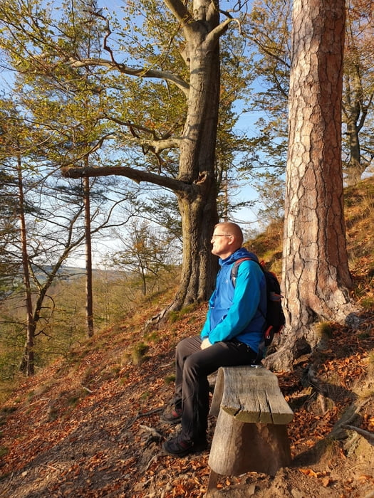
Am Kunnerstein angekommen wartet ein herrlicher Ausblick auf die Zschopau. Wir folgen dem Weg nach Erdmannsdorf.
Fazit:
- kurze kleine Wanderung
- lecker Kaffee und Kuchen im Café Friedrich (Platz-Reservierung sollte vorgenommen werden)
- sensationelle Aussicht am Kunnerstein
sehr empfehlenswert
Galeria trasy


Mapa trasy i profil wysokości
Minimum height 296 m
Maximum height 499 m
More about the tour author
|
|
Stummi |
Komentarze

GPS tracks
Trackpoints-
GPX / Garmin Map Source (gpx) download
-
TCX / Garmin Training Center® (tcx) download
-
CRS / Garmin Training Center® (crs) download
-
Google Earth (kml) download
-
G7ToWin (g7t) download
-
TTQV (trk) download
-
Overlay (ovl) download
-
Fugawi (txt) download
-
Kompass (DAV) Track (tk) download
-
Karta trasy (pdf) download
-
Original file of the author (gpx) download
More about the tour author
|
|
Stummi |
Add to my favorites
Remove from my favorites
Edit tags
Open track
My score
Rate