
")

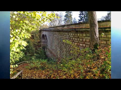
Vom Parkplatz am Gasthaus vorbei zum Brückkanal mit Infotafeln über den Ludwig- Donau- Main- Kanal. Auf westlicher Seite gemütlich von Schleuse zu Schleuse (Fuß- Radweg). Wo der Radweg über Brücke zum östlichen Ufer führt gehen wir auf Pfad rechtseitig weiter (keine Radler und ab Mittag kein Gegenlicht beim Fotografieren!).
An Schleuse "41"(neue Brücke) verlassen wir den Kanal gehen im Wald nach 300m auf dem "Schwabachweg" durch Wald nach Westen zur Schleuse "44", am Kanal weiter, an Schleuse "45" geht es nun hin und her durch den Wald zu Schleuese "51", wieder am Kanal entlang zu Schleuse "52".
Wir verlassen den Kanal nach rechts nach Gsteinach zur "Schwarzachklamm". Die kleine Klamm ist sehr imposant, mit leichter Herbstfärbung und Nachmittagsonne leuchteten die Felsen in bunten Farben!
Der Klammweg führt automatisch zum Ausgangspunkt am Brückkanal zurück.
Galeria trasy


Mapa trasy i profil wysokości
Minimum height 358 m
Maximum height 413 m
More about the tour author
|
|
heinz-57 |
Komentarze

Autobahn A9 an Ausfahrt "Feucht" verlassen, kurz auf A73 zur B8, gleich an großer Kreuzung (links nach Feucht) rechts ab durch Industriegebiet, nach 500m an Kurve rechts ab mit Wegweiser "Brückkanal" zu Parkplatz.
GPS tracks
Trackpoints-
GPX / Garmin Map Source (gpx) download
-
TCX / Garmin Training Center® (tcx) download
-
CRS / Garmin Training Center® (crs) download
-
Google Earth (kml) download
-
G7ToWin (g7t) download
-
TTQV (trk) download
-
Overlay (ovl) download
-
Fugawi (txt) download
-
Kompass (DAV) Track (tk) download
-
Karta trasy (pdf) download
-
Original file of the author (gpx) download
More about the tour author
|
|
heinz-57 |
Add to my favorites
Remove from my favorites
Edit tags
Open track
My score
Rate