Login

Zapomniałeś swój login?

Cookies have to be accepted!
Your browser's cookie functionality is disabled. Please enable this functionality.

Not a member yet?

Register now
Login

Available for registred users only

Log in to use this feature.

Zapomniałeś swój login?

Cookies have to be accepted!
Your browser's cookie functionality is disabled. Please enable this functionality.

Not a member yet?

Register now
Filter
Kategorie
Advanced filters
  • Długość (km)
  • Wysokość
Zapisz filtr Reset filter

TrackRank

QRCode

Technical data

Długość427,1 km Wysokość6232 m Way down6648 m Czas trwania00:00 h:m Data09.11.2019
Oceny Author Krajobraz Czynnik zadowolenia Kondycja Technika

Statystyka

204 Widoki Oceny 9 Downloads / Pliki do pobrania Przeciętnie
Rate
  • Karta trasy
  • Dojazd
  • Downloads / Pliki do pobrania
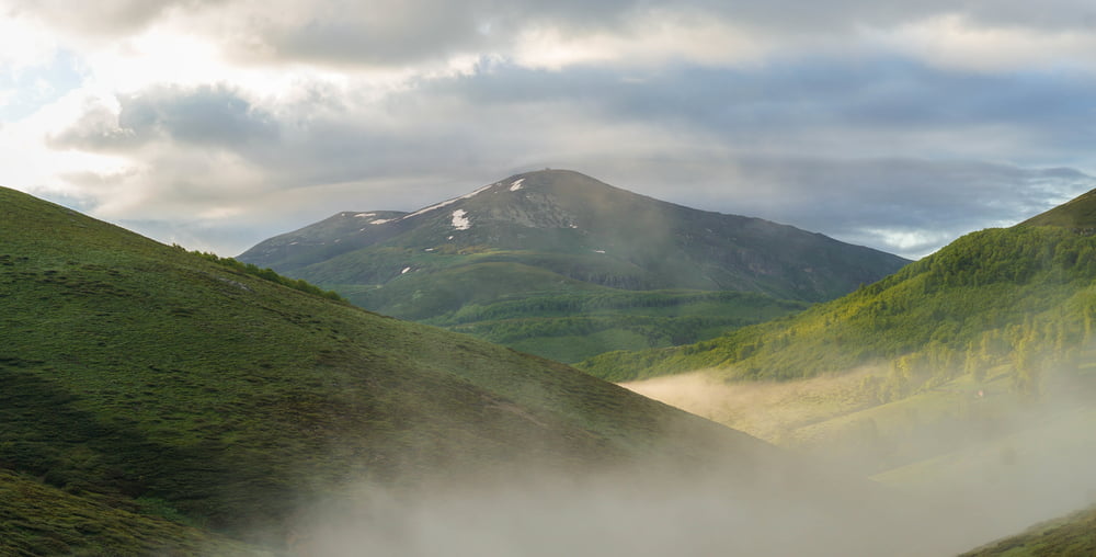
Mountainbike-Tour im Gebiet des zentralen Balkan in Bulgarien. Ausgangspunkt Kalofer - im Bereich des Nationalparks Zentral Balkan Überquerung des ca. 1600 m hohen Roussalyiski Passes - Gabrovo - über den geschichtsträchtigen Shipka Pass - ins Rosental nach Kasanlak - Auf Grund von Schlechtwetter einen Tag mit Auto unterwegs (Chadschi Dimitar Berg mit Buzludsha Denkmal - Trjavna) weiter mit Fahrrad über Voneshta Voda bis Veliko Tarnovo.

Galeria trasy

Mapa trasy i profil wysokości

  • Open Street Map
  • Google
Minimum height 121 m Maximum height 1569 m Widok szczegółowy

More about the tour author

hutti
Member since 2009

Send private message

Komentarze

GPS tracks

Trackpoints
  • GPX / Garmin Map Source (gpx) download
  • TCX / Garmin Training Center® (tcx) download
  • CRS / Garmin Training Center® (crs) download
  • Google Earth (kml) download
  • G7ToWin (g7t) download
  • TTQV (trk) download
  • Overlay (ovl) download
  • Fugawi (txt) download
  • Kompass (DAV) Track (tk) download
  • Karta trasy (pdf) download
  • Original file of the author (gpx) download

More about the tour author

hutti
Member since 2009

Send private message
Share track
Add to my favorites
Remove from my favorites
Edit tags
My score
Rate
Trasa: Mittlerer Balkan
Rodzaj: Rower górski (MTB)
Długość: 427,1 km
Evaluated on:
Czas trwania:
Day(s)
Hour(s)
Minute(s)
Ocena: Krajobraz Czynnik zadowolenia Kondycja Technika