


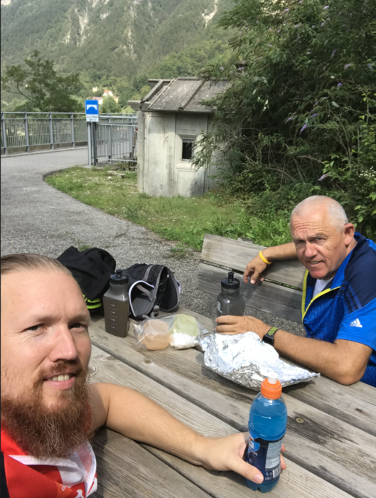
26.08.19 – Im Nordosten Italiens, im Dreiländereck zwischen Österreich, Italien und Slowenien, findet man einen der schönsten Bahntrassenradwege Italiens - den neuen Radweg auf der alten "Pontebbana" – Eisenbahnstrecke. Also vom alten Grenzübergang in Thörl-Maglern den CAAR „Ciclovia Alpe Adria“ über Tarvis, Pontebba, Resiutta, Carnia und Venzone bis nach Gemona und dann mit dem Zug wieder retour zum Ausgangspunkt.
Galeria trasy

Mapa trasy i profil wysokości
Minimum height 192 m
Maximum height 816 m
More about the tour author
|
|
exitus |
Komentarze

Über die Autobahn von Villach Richtung Italien, dann die Abfahrt Arnoldstein nehmen und weiter nach Thörl-Maglern.
GPS tracks
Trackpoints-
GPX / Garmin Map Source (gpx) download
-
TCX / Garmin Training Center® (tcx) download
-
CRS / Garmin Training Center® (crs) download
-
Google Earth (kml) download
-
G7ToWin (g7t) download
-
TTQV (trk) download
-
Overlay (ovl) download
-
Fugawi (txt) download
-
Kompass (DAV) Track (tk) download
-
Karta trasy (pdf) download
-
Original file of the author (gpx) download
More about the tour author
|
|
exitus |
Add to my favorites
Remove from my favorites
Edit tags
Open track
My score
Rate