
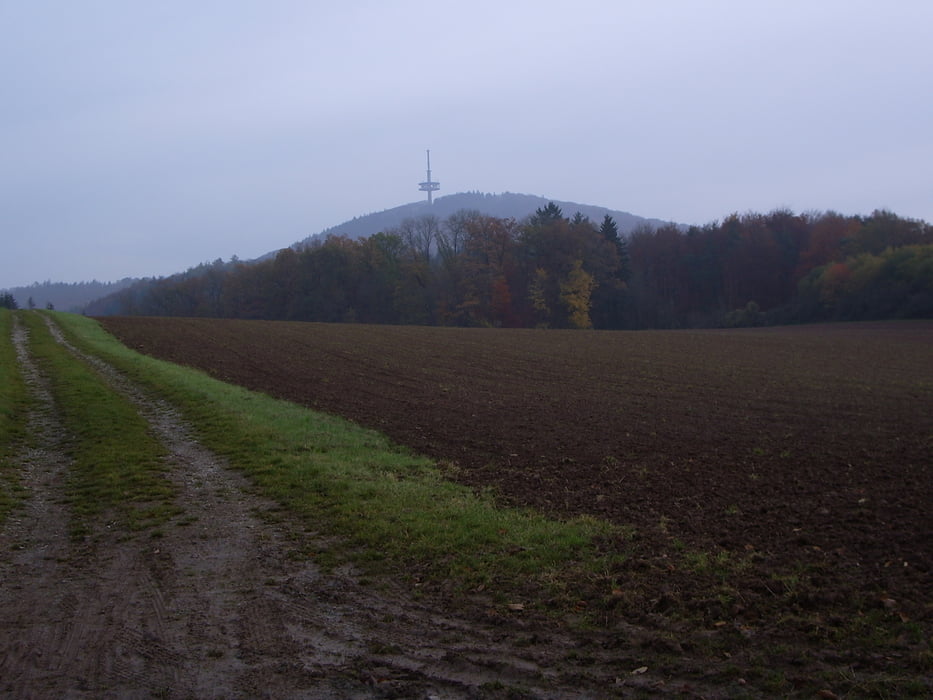

Eine schöne Runde überwiegend durch Wald mit kurzen Schiebepassagen (jenachdem aus welchr Richtung man fährt). Der Weg führt von Erda durch die Braichte nach Weipoltshausen, dann über die Kuppe nach Kirchvers und entlang dem Elisabethenpfad über Krumbach zum P Krumbacher Kreuz. Die Asphaltstrasse hoch bis zur Bank (wer will kann auch noch ganz hochfahren) und über den Waldweg und einen kurzen Trail zum Fischteich im Dünsbergsgrund. Über die "lange Meile" führt der Weg zurück nach Erda.
Further information at
http://www.lahn-dill-bergland.deMapa trasy i profil wysokości
Minimum height 198 m
Maximum height 362 m
More about the tour author

|
Arno Brueck |
Komentarze

Start ist am Friedhof in Erda. Die Tour ist in beiden Richtungen möglich.
GPS tracks
Trackpoints-
GPX / Garmin Map Source (gpx) download
-
TCX / Garmin Training Center® (tcx) download
-
CRS / Garmin Training Center® (crs) download
-
Google Earth (kml) download
-
G7ToWin (g7t) download
-
TTQV (trk) download
-
Overlay (ovl) download
-
Fugawi (txt) download
-
Kompass (DAV) Track (tk) download
-
Karta trasy (pdf) download
-
Original file of the author (gpx) download
More about the tour author
|
|
Arno Brueck |
Add to my favorites
Remove from my favorites
Edit tags
Open track
My score
Rate