

An heißen Sommertagen, wenn im Tal der Mosel die Luft „steht“, nutze ich gerne einmal die Möglichkeit, Richtung Eifel oder Hunsrück hinauf zu fahren und ein bisschen frische Luft zu schnappen. Schließlich liegen beide Mittelgebirge so nah – nach einer knappen halben Stunde Fahrt wird die Luft schon kühler und das Wandern angenehmer.
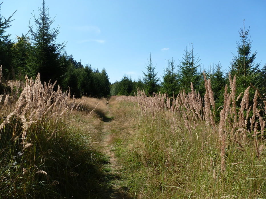
An einem schönen Sommertag fahre ich deshalb hinauf zur Traumschleife „Gipfelrauschen“, die mit ihren 7,5 km rund um den Erbeskopf (816,32 m), den höchsten Berg von Rheinland-Pfalz, führt.
Further information at
https://wanderwege-trier.de/2018/08/28/traumschleife-gipfelrauschen-am-erbeskopf/#more-4597Galeria trasy


Mapa trasy i profil wysokości
Minimum height 616 m
Maximum height 816 m
More about the tour author
|
|
Wanderkarin |
Komentarze

Meine Anfahrt erfolgt zügig Richtung Thalfang/Deuselbach, dann folge ich der Beschilderung Erbeskopf. Ich wähle den unteren Parkplatz, dort, wo im Winter auch der „Skizirkus“ startet. Eine zweite Möglichkeit bietet sich mit dem Parkplatz auf dem Erbeskopf-Gipfel. Am unteren Parkplatz habe ich die längste (und mehr oder weniger einzige) Steigung des Weges direkt vor mir.
GPS tracks
Trackpoints-
GPX / Garmin Map Source (gpx) download
-
TCX / Garmin Training Center® (tcx) download
-
CRS / Garmin Training Center® (crs) download
-
Google Earth (kml) download
-
G7ToWin (g7t) download
-
TTQV (trk) download
-
Overlay (ovl) download
-
Fugawi (txt) download
-
Kompass (DAV) Track (tk) download
-
Karta trasy (pdf) download
-
Original file of the author (gpx) download
More about the tour author
|
|
Wanderkarin |
Add to my favorites
Remove from my favorites
Edit tags
Open track
My score
Rate