Login

Zapomniałeś swój login?

Cookies have to be accepted!
Your browser's cookie functionality is disabled. Please enable this functionality.

Not a member yet?

Register now
Login

Available for registred users only

Log in to use this feature.

Zapomniałeś swój login?

Cookies have to be accepted!
Your browser's cookie functionality is disabled. Please enable this functionality.

Not a member yet?

Register now
Filter
Kategorie
Advanced filters
  • Długość (km)
  • Wysokość
Zapisz filtr Reset filter

TrackRank

QRCode

Technical data

Długość16,8 km Wysokość569 m Way down495 m Czas trwania00:00 h:m Data21.01.2020
Oceny Author Krajobraz Czynnik zadowolenia Kondycja Technika

Statystyka

680 Widoki Oceny 13 Downloads / Pliki do pobrania Przeciętnie
Rate
  • Karta trasy
  • Dojazd
  • Downloads / Pliki do pobrania
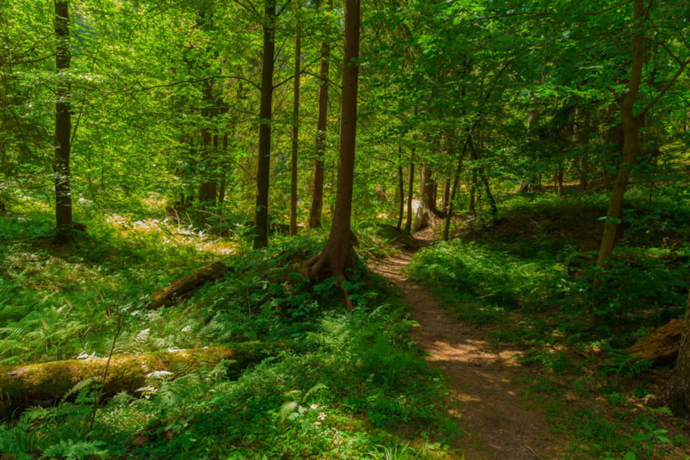
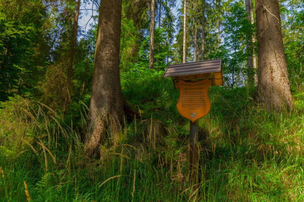
Der Obere Berggrabenweg führt euch vom Amtshaus Ilmenau über Manebach zum Freibadchtal in Stützerbach am Rennsteig. Er verläuft an den alten Wasserzuläufen, die für den Bergbau angelegt wurden und besticjt durch seine natürliche Wegeführung.

Further information at

https://schöne-aussicht.de/der-obere-berggrabenweg/

Galeria trasy

Mapa trasy i profil wysokości

  • Open Street Map
  • Google
Minimum height 493 m Maximum height 650 m Widok szczegółowy

More about the tour author

madraxx

Komentarze

GPS tracks

Trackpoints
  • GPX / Garmin Map Source (gpx) download
  • TCX / Garmin Training Center® (tcx) download
  • CRS / Garmin Training Center® (crs) download
  • Google Earth (kml) download
  • G7ToWin (g7t) download
  • TTQV (trk) download
  • Overlay (ovl) download
  • Fugawi (txt) download
  • Kompass (DAV) Track (tk) download
  • Karta trasy (pdf) download
  • Original file of the author (gpx) download

More about the tour author

madraxx

Share track
Add to my favorites
Remove from my favorites
Edit tags
My score
Rate
Trasa: Oberer Berggrabenweg
Rodzaj: Wędrówki
Długość: 16,8 km
Evaluated on:
Czas trwania:
Day(s)
Hour(s)
Minute(s)
Ocena: Krajobraz Czynnik zadowolenia Kondycja Technika