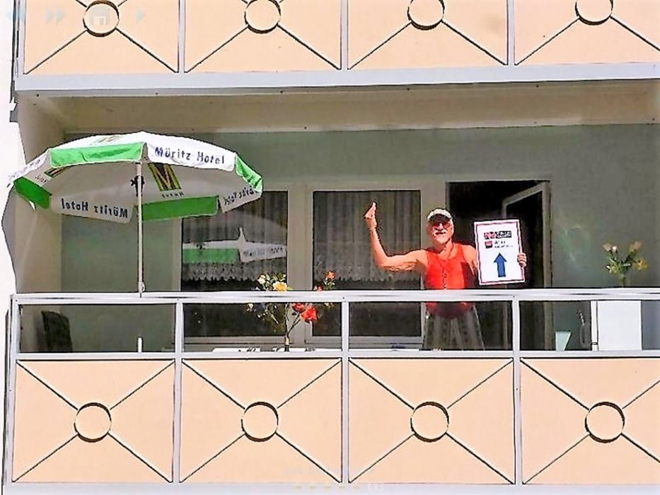
Als Anfaenger nehme ich mir das TEASI one auf den Lenker und fahre ganz einfach los.
Morgen ist auch wieder ein Tag und dann werde ich hier eine Menge Einzelheiten berichten.
Donnerwetter ist GPS Routes ein tolles Programm ! Mit grosser Begeisterung probiere ich nun alle Einstellungen der Reihe nach durch und werde mich dann auch im Forum melden.
Ciao von Ebi, dem Bademeister
Morgen ist auch wieder ein Tag und dann werde ich hier eine Menge Einzelheiten berichten.
Donnerwetter ist GPS Routes ein tolles Programm ! Mit grosser Begeisterung probiere ich nun alle Einstellungen der Reihe nach durch und werde mich dann auch im Forum melden.
Ciao von Ebi, dem Bademeister
Mapa trasy i profil wysokości
Minimum height 62 m
Maximum height 85 m
Komentarze
An der B192 habe ich mir eine Wohnung gemietet - vorher stand hier das Mueritz Hotel, welches jedoch vor zwei Jahren in die Luft geflogen ist. Das waren keine Terroristen, sondern geldgierige deutsche Edelmaenner - lach, lach, lach.
GPS tracks
Trackpoints-
GPX / Garmin Map Source (gpx) download
-
TCX / Garmin Training Center® (tcx) download
-
CRS / Garmin Training Center® (crs) download
-
Google Earth (kml) download
-
G7ToWin (g7t) download
-
TTQV (trk) download
-
Overlay (ovl) download
-
Fugawi (txt) download
-
Kompass (DAV) Track (tk) download
-
Karta trasy (pdf) download
-
Original file of the author (gpx) download
Add to my favorites
Remove from my favorites
Edit tags
Open track
My score
Rate


Meck/Pomm erkunden
Na das haut doch schon mal so richtig in die Pfanne. Dein Auftakt ist Dir wirklich gelungen. Vielleicht treffen wir uns fuer weitere Unternehmungen mit dem Fahrrad.
Ciao von Ebi, dem Radfahrer