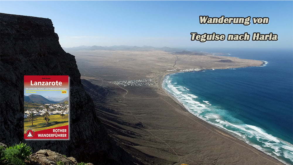
Die Wanderung verbindet zwei attraktivsten Inselorte miteinander. Von der alten Hauptstadt Teguise wird zur Penas del Chache, dem höchsten Inselgipfel, wobei sich vom Rücken des Risco de Famara prächtige Aussichten in den ganzen Inselnorden ergeben. Wanderziel ist schließlich das pittoreske Palmental von Haria.
Galeria trasy
Mapa trasy i profil wysokości
Minimum height 99999 m
Maximum height -99999 m
Komentarze

GPS tracks
Trackpoints-
GPX / Garmin Map Source (gpx) download
-
TCX / Garmin Training Center® (tcx) download
-
CRS / Garmin Training Center® (crs) download
-
Google Earth (kml) download
-
G7ToWin (g7t) download
-
TTQV (trk) download
-
Overlay (ovl) download
-
Fugawi (txt) download
-
Kompass (DAV) Track (tk) download
-
Karta trasy (pdf) download
-
Original file of the author (gpx) download
Add to my favorites
Remove from my favorites
Edit tags
Open track
My score
Rate


