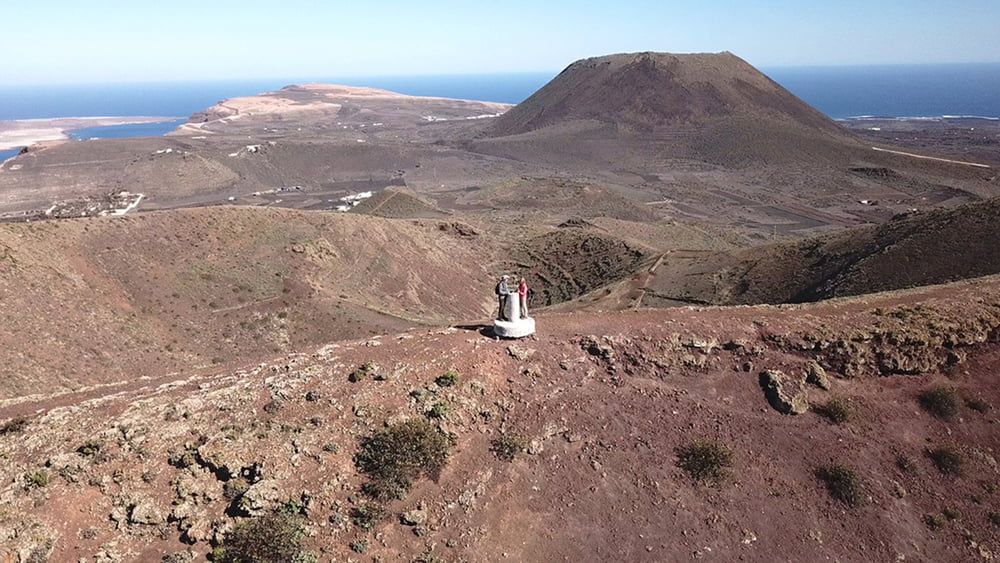
Für heute stehen 2 kurze Wanderung im Norden der Insel an. Zunächst geht es auf einem breiten Schotterweg auf eine erste Anhöhe und danach in einen Bergsattel. Wir entscheiden uns die Umrundung des Kraters im Uhrzeigersinn zu Lauf, was sich im Nachhinein als Richtig herausstellt.
Galeria trasy
Mapa trasy i profil wysokości
Minimum height 465 m
Maximum height 584 m
Komentarze

GPS tracks
Trackpoints-
GPX / Garmin Map Source (gpx) download
-
TCX / Garmin Training Center® (tcx) download
-
CRS / Garmin Training Center® (crs) download
-
Google Earth (kml) download
-
G7ToWin (g7t) download
-
TTQV (trk) download
-
Overlay (ovl) download
-
Fugawi (txt) download
-
Kompass (DAV) Track (tk) download
-
Karta trasy (pdf) download
-
Original file of the author (gpx) download
Add to my favorites
Remove from my favorites
Edit tags
Open track
My score
Rate


