

- Rundkurs im Uhrzeigersinn
- Start/Ziel: Varigotti
- Aufstieg Asfalt bis KM 2,9 - MH 219, steil mit einigen kurzen Rampen.
- Anschliessend bis KM 4,8 - MH 290 angenehm ansteigend.(Ristorante Ferrin)
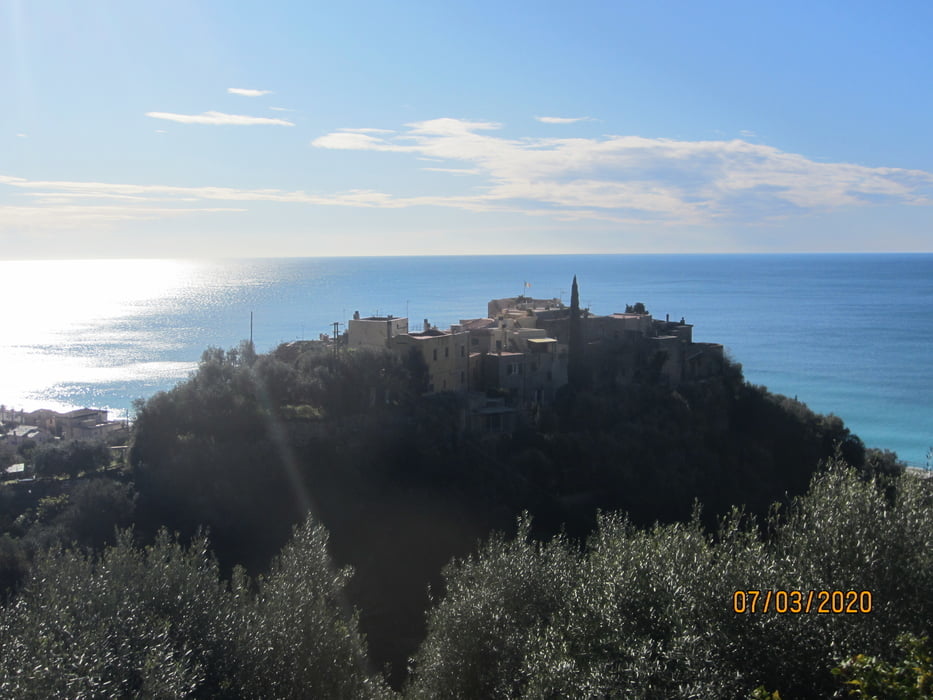
- Anschliessend Auf und Ab auf Waldweg/Steig. Herrlicher Rundblick.
- Abfahrt nach Noli auf Wanderweg(Fussgänger haben Vorfahrt!! Angenehmes Gefälle, grobschottrig, S1, wenige Stellen S2, am Schluss der Abfahrt kurze Schiebepassagen.
- Noli KM 12,9
- Auf der Staatsstrasse zurück nach Varigotti. Radbeleuchtung für die kurzen Galerien.
PS. Diese schöne Tour wurde vom Kalli ausgearbeitet.
Galeria trasy


Mapa trasy i profil wysokości
Minimum height -1 m
Maximum height 371 m
More about the tour author
|
|
MargesinFriedrich |
Komentarze

GPS tracks
Trackpoints-
GPX / Garmin Map Source (gpx) download
-
TCX / Garmin Training Center® (tcx) download
-
CRS / Garmin Training Center® (crs) download
-
Google Earth (kml) download
-
G7ToWin (g7t) download
-
TTQV (trk) download
-
Overlay (ovl) download
-
Fugawi (txt) download
-
Kompass (DAV) Track (tk) download
-
Karta trasy (pdf) download
-
Original file of the author (gpx) download
More about the tour author
|
|
MargesinFriedrich |
Add to my favorites
Remove from my favorites
Edit tags
Open track
My score
Rate