
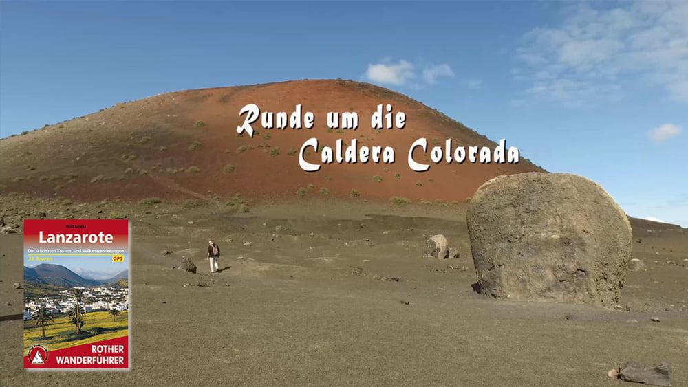

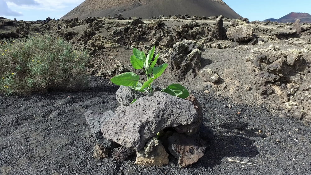
Der etwa hundert Meter hohe Vulkankegel entstand in der Schlussphase der Eruptionen im 18. Jahrhundert, als es über und unter der Erde nochmals richtig brodelte und das topografische Bild der Region völlig umgekrempelt wurde. Eines der Highlights am Fuß des an seiner Ostseite feuerroten Vulkans ist eine riesige vulkanische Bombe. Auch hier laufen wir zunächst 1km parallel der LZ-56 auf die Montana Colorada zu, bis wir auf den eigentlichen Rundweg stoßen. »Sendero de Lava«
heißt der interessante Lehrpfad, der bequem und aussichtsreich die Montaña Colorada umrundet. 15 Infotafeln informieren über das vulkanische Geschehen. Anders als die Vulkanpfade im Timanfaya Nationalpark, die nur als geführte Tour begehbar sind, kann diese Runde um die in farbliche Caldera auch individuell unternommen werden.
Galeria trasy


Mapa trasy i profil wysokości
Minimum height 330 m
Maximum height 351 m
More about the tour author
|
|
schleidy |
Komentarze

GPS tracks
Trackpoints-
GPX / Garmin Map Source (gpx) download
-
TCX / Garmin Training Center® (tcx) download
-
CRS / Garmin Training Center® (crs) download
-
Google Earth (kml) download
-
G7ToWin (g7t) download
-
TTQV (trk) download
-
Overlay (ovl) download
-
Fugawi (txt) download
-
Kompass (DAV) Track (tk) download
-
Karta trasy (pdf) download
-
Original file of the author (gpx) download
More about the tour author
|
|
schleidy |
Add to my favorites
Remove from my favorites
Edit tags
Open track
My score
Rate