Login

Zapomniałeś swój login?

Cookies have to be accepted!
Your browser's cookie functionality is disabled. Please enable this functionality.

Not a member yet?

Register now
Login

Available for registred users only

Log in to use this feature.

Zapomniałeś swój login?

Cookies have to be accepted!
Your browser's cookie functionality is disabled. Please enable this functionality.

Not a member yet?

Register now
Filter
Kategorie
Advanced filters
  • Długość (km)
  • Wysokość
Zapisz filtr Reset filter

TrackRank

QRCode

Technical data

Długość105,5 km Wysokość1044 m Way down1060 m Czas trwania04:15 h:m Data20.03.2020
Oceny Author Krajobraz Czynnik zadowolenia Kondycja Technika

Statystyka

423 Widoki Oceny 155 Downloads / Pliki do pobrania Przeciętnie
Rate
  • Karta trasy
  • Dojazd
  • Downloads / Pliki do pobrania

Weitläufige Umrundung des Starnberger Sees ab Wolfratshausen. Der See selbst wird von der Tour nie berührt, auch kann man den See nicht sehen. Dafür kommt an im südlichen Teil an vielen kleinen idyllischen Seen vorbei. Im Wesentlichen verläuft die Tour auf kleinen Straßen (100 % Asphalt). 

Die Tour kann in beiden Richtungen gefahren werden. Im Gegenuhrzeigersinn (wie aufgezeichnet) hat man schöne Blicke nach Süden auf die  Alpen.
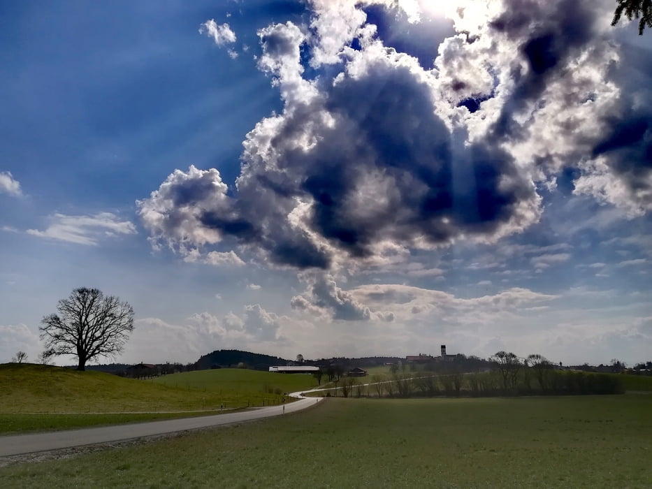
Galeria trasy

Mapa trasy i profil wysokości

  • Open Street Map
  • Google
Minimum height Maximum height 738 m Widok szczegółowy

More about the tour author

Onkel Darwin
Member since 2007

Send private message

Komentarze

Start am S-Bahnhof Wolfratshausen.

GPS tracks

Trackpoints
  • GPX / Garmin Map Source (gpx) download
  • TCX / Garmin Training Center® (tcx) download
  • CRS / Garmin Training Center® (crs) download
  • Google Earth (kml) download
  • G7ToWin (g7t) download
  • TTQV (trk) download
  • Overlay (ovl) download
  • Fugawi (txt) download
  • Kompass (DAV) Track (tk) download
  • Karta trasy (pdf) download
  • Original file of the author (gpx) download

More about the tour author

Onkel Darwin
Member since 2007

Send private message
Share track
Add to my favorites
Remove from my favorites
Edit tags
My score
Rate
Trasa: Um den Starnberger See auf kleinen Straßen
Rodzaj: Rower szosowy
Długość: 105,5 km
Evaluated on:
Czas trwania:
Day(s)
Hour(s)
Minute(s)
Ocena: Krajobraz Czynnik zadowolenia Kondycja Technika